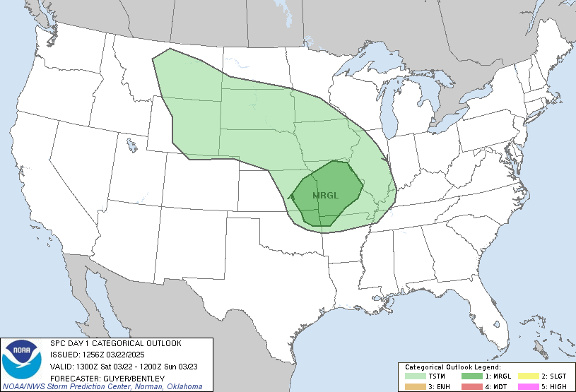
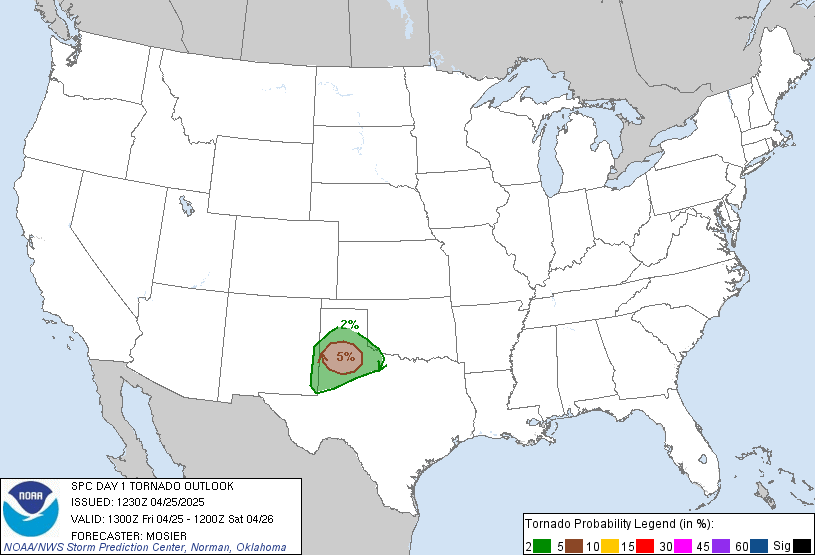
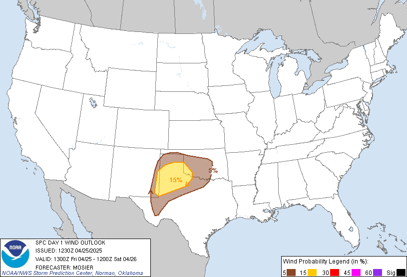
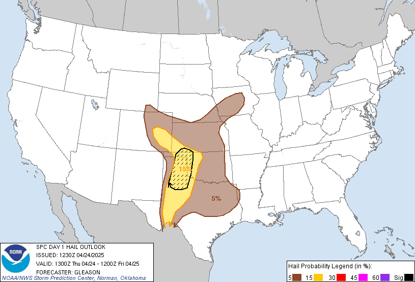
Day 1 Convective Outlook
NWS Storm Prediction Center Norman OK
0700 AM CST Sun Nov 15 2026
Valid 151300Z - 161200Z
...THERE IS A MARGINAL RISK OF SEVERE THUNDERSTORMS ACROSS THE
LOWER/MIDDLE TEXAS COAST...
...SUMMARY...
Widely scattered strong thunderstorms may impact middle into lower
Texas coastal areas today, potentially with some risk for severe
weather.
...Texas Gulf Coast...
A southern-stream shortwave trough centered over northwest
Texas/western Oklahoma this morning will continue to drift
east-southeastward today, generally weakening as it approaches east
Texas and the ArkLaTex late tonight. Ahead of this system, there
will be relatively limited temporal opportunity for an appreciable
inland/northward flux of moisture. It is possible that stronger
storms will tend to remain focused offshore in the relatively richer
maritime air mass, such as is occurring this morning off the
lower/middle Texas coast, but some severe potential could
nonetheless materialize in middle/lower coastal areas, primarily
within 50-75 miles of the immediate coast this afternoon. In close
proximity to the slow-moving/stalled front, the 12z observed
sounding from KCRP/Corpus Christi sampled around 2000 J/kg MUCAPE
with upwards of 50 kt deep-layer shear. A somewhat more unstable
environment will exist and persist longer south-southwestward across
Deep South Texas, but the likelihood of inland deep convection is a
bit more uncertain with south-southwestward extent, but a couple of
severe storms could occur prior to the cold front shifting offshore
by early evening.
..Guyer/Mead.. 11/15/2026
Read more CHECK UPDATE ZOOM GRAPHIC
http://dlvr.it/TWLFvL