Day 1 Convective Outlook
NWS Storm Prediction Center Norman OK
1116 PM CST Sat Nov 14 2026
Valid 151200Z - 161200Z
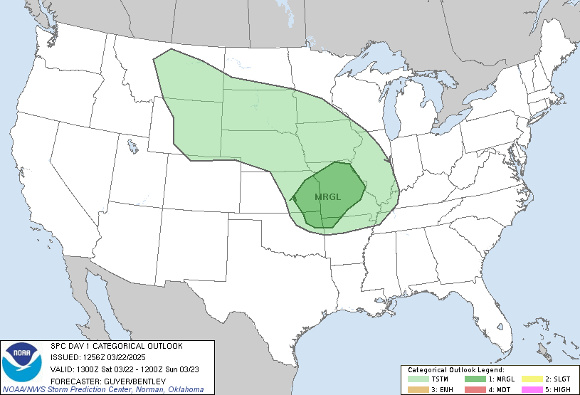
...THERE IS A MARGINAL RISK OF SEVERE THUNDERSTORMS TODAY ACROSS
MIDDLE/LOWER TEXAS GULF COASTAL AREAS...
...SUMMARY...
A few scattered strong thunderstorms may impact middle into lower
Texas coastal areas today, perhaps accompanied by some risk for
severe weather.
...Discussion...
Models indicate that higher mean mid-level heights will be
maintained across interior Canada and the U.S. through this period,
with confluent flow into downstream troughing across and east of the
Atlantic Seaboard. Upstream, it appears that an initially deep,
occluding cyclone will undergo substantive deformation and weakening
offshore of the British Columbia coast toward the Gulf of Alaska,
but remnant larger-scale mid-level troughing (with several embedded
smaller-scale perturbations) is forecast to begin overspreading the
Pacific coast.
A previous trough emerging from the Pacific has begun to split while
progressing across the Rockies vicinity, toward the mean ridge axis.
The southern portion is now digging into the southern Great Plains
vicinity, and forecast to gradually weaken while continuing into and
across the northwestern Gulf Coast vicinity today through tonight.
This has been preceded by the development of expansive cold surface
ridging, which continues to build along an axis to the east of the
Mississippi River through the eastern Gulf Basin/Florida Peninsula,
and is likely to maintain a notable influence across most areas east
of the Rockies. Today through tonight this will increasing include
the southern Great Plains through Texas Gulf coast and lower Rio
Grande Valley.
...Texas Gulf Coast...
Latest model output suggests that a vigorous cyclonic mid-level jet
streak, initially digging through the Edwards Plateau/Hill Country
at 12Z this morning, will weaken considerably through the day while
propagating eastward toward the upper Texas/Louisiana coastal plain.
It appears that associated forcing for ascent in its exit region may
pass to the north of the potentially destabilizing boundary-layer
across the middle into lower Texas coastal plain, where dew points
in the upper 60s to near 70F may contribute to mixed-layer CAPE on
the order of 1000 J/kg by midday, in advance of the slowly southward
advancing cool air. Preceding forcing for ascent, associated with
lower/mid-tropospheric warm advection (and accompanying low-level
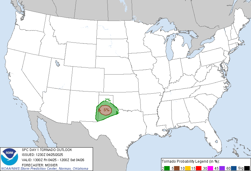
hodographs supportive of better conditional tornado potential), may
also tend to shift offshore of immediate middle Texas coastal areas
early in the day.
Even so, convection-allowing guidance suggests that frontal forcing
for ascent may contribute to weakening of mid-level inhibition and
enhance convective development within the unstable environment
across the coastal plain, before advancing offshore this afternoon
and evening. Although this will probably coincide with a transition
to more linear and/or smaller low-level hodographs, stronger storms
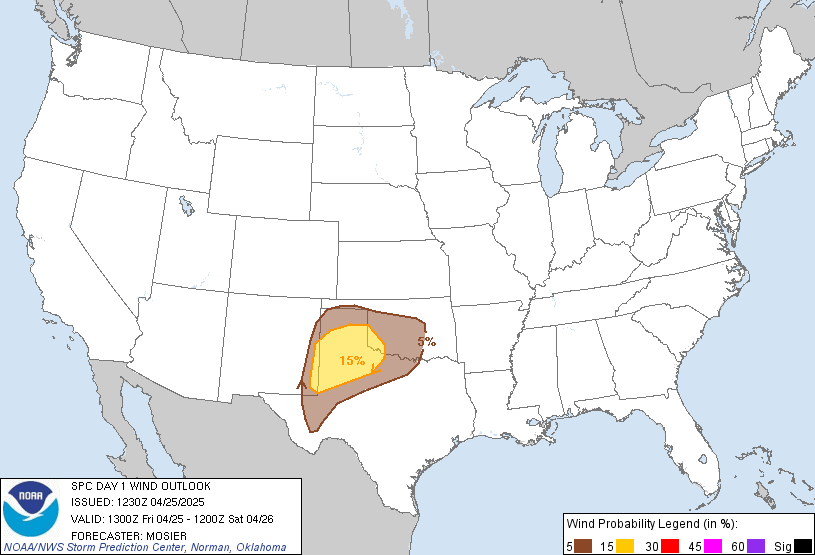
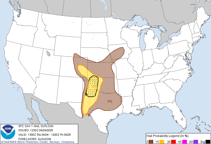
may still pose at least some risk for severe wind and perhaps hail.
..Kerr/Chalmers.. 11/15/2026
Read more CHECK UPDATE ZOOM GRAPHIC
http://dlvr.it/TWL6cX