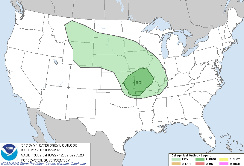
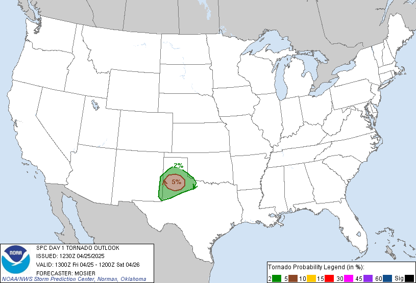
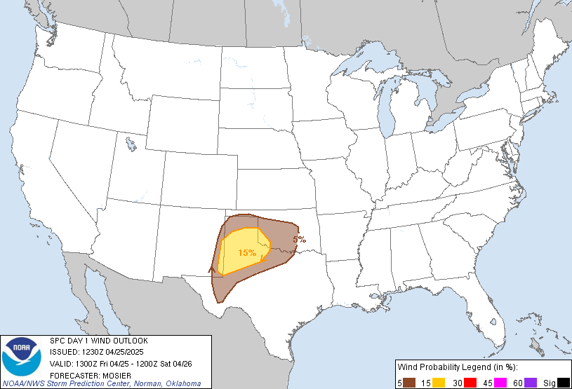
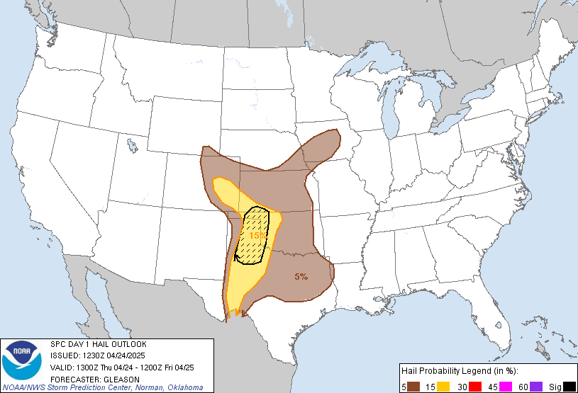
LIVE MAP (ABOVE) ... SPC 0100Z Day 1 Outlook
Day 1 Convective Outlook
NWS Storm Prediction Center Norman OK
0635 PM CST Fri Nov 13 2026
Valid 140100Z - 141200Z
...NO SEVERE THUNDERSTORM AREAS FORECAST...
...SUMMARY...
Organized severe thunderstorms are not expected across the U.S.
tonight.
...Synopsis...
Isolated to scattered thunderstorms will continue through the
evening and into tonight from portions of the Four Corners to
southwest TX, and across parts of the northern CA and OR coasts.
Weak instability and increasing boundary-layer inhibition with loss
of daytime heating will preclude severe thunderstorm potential.
..Leitman.. 11/14/2026
Read more CHECK UPDATE ZOOM GRAPHIC
http://dlvr.it/TWKWYM
Windy.com Temps | Gusts | WU KORD KPWK |
CLICK for this month's BIG night sky ... | RADAR FULL MAP SCREEN |
|---|
MOBILE DEVICE? Turn sideways. Weather conditions directly above are near Lakefront. Top tabs refer to O'Hare (official).
Archives for the SPC Convective Outlook are updated daily (approximately) with a live map at the beginning of each article. Follow the link at the end of the article to check for current updates on the NOAA/NWS Storm Prediction Center website. Also, see Archives for Chicago's hourly weather data on CARDINAL NEWS Magazine.
CONVECTIVE | TORNADO | WIND | HAIL
O'Hare International Airport KORD
(Arlington Heights South)
Chicago Executive Airport KPWK
(Arlington Heights North)
Friday, November 13, 2026
SPC Nov 14, 2026 0100 UTC Day 1 Convective Outlook
SUNRISE AND SUNSET TIMES IN UTC (if you're not logged in to Google)
CHICAGO UTC-6 during CST (Central Standard Time, e.g., winter)
CHICAGO UTC-5 during CDT (Daylight Savings Time, e.g., summer)
CHICAGO UTC-6 during CST (Central Standard Time, e.g., winter)
CHICAGO UTC-5 during CDT (Daylight Savings Time, e.g., summer)