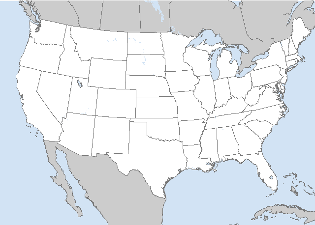
LIVE MAP (ABOVE) ... SPC 0600Z Day 2 Outlook
Day 2 Convective Outlook
NWS Storm Prediction Center Norman OK
0100 AM CDT Fri Jun 23 2023
Valid 241200Z - 251200Z
...THERE IS A SLIGHT RISK OF SEVERE THUNDERSTORMS ACROSS PARTS OF
THE LOWER TO MID MISSOURI VALLEY AND MID TO UPPER MISSISSIPPI
VALLEY...
...SUMMARY...
Severe thunderstorms, associated with wind damage, isolated large
hail and perhaps a tornado or two, will be possible from parts of
the lower to mid Missouri Valley eastward into the mid to upper
Mississippi Valley Saturday afternoon and evening.
...Lower to Mid Missouri Valley/Mid to Upper Mississippi Valley...
An upper-level trough will move eastward across the north-central
U.S. on Saturday, as a 50 to 60 knot mid-level jet translates
eastward through the central Plains and mid Missouri Valley. At the
surface, a front will move eastward into the mid Missouri Valley.
Ahead of the front, surface dewpoints will be in the upper 60s and
lower 70s F. The moist airmass ahead of the front will gradually
heat up during the day, resulting in a corridor of moderate
instability by afternoon from northeast Kansas into northwestern
Missouri and Iowa. Convective initiation appears likely to occur on
the northern edge of the stronger instability from southeastern
Nebraska into western Iowa during the late morning and early
afternoon. The storms are forecast to move eastward across Iowa
during the afternoon and should develop southward into northern and
central Missouri during the late afternoon and early evening.
NAM forecast soundings by late Saturday afternoon, in south-central
Iowa along the instability axis, have MLCAPE in the 1500 to 2500
J/kg range and 700-500 mb lapse rates near 7.0 C/km. This, combined
with 0-6 km shear of 50 to 60 knots, should be favorable for
supercells with large hail. Hailstones of greater than 2 inches in
diameter will be possible with the more dominant supercells.
Low-level flow is forecast to gradually increase during the late
afternoon and early evening, with 0-3 km storm-relative helicity
reaching 250 m2/s2 in parts of southern and central Iowa. This is
expected to support a tornado threat with the stronger rotating
storms. In addition, a wind-damage threat will likely occur with
supercells and/or short bowing line segments.
Further south into northern and central Missouri, low to mid-level
temperatures are forecast to be considerably warmer, with 700 mb
temperatures from +11 to +13 C. This, combined with a lack of
large-scale ascent, should keep convective coverage isolated during
the late afternoon and early evening. However, any supercell that
can develop within this moist and unstable airmass should be
associated with a severe threat. Large hail and wind damage will be
the primary threats in most areas across Missouri.
..Broyles.. 06/23/2023
Read more CHECK UPDATE ZOOM GRAPHIC
http://dlvr.it/Sr67h3


