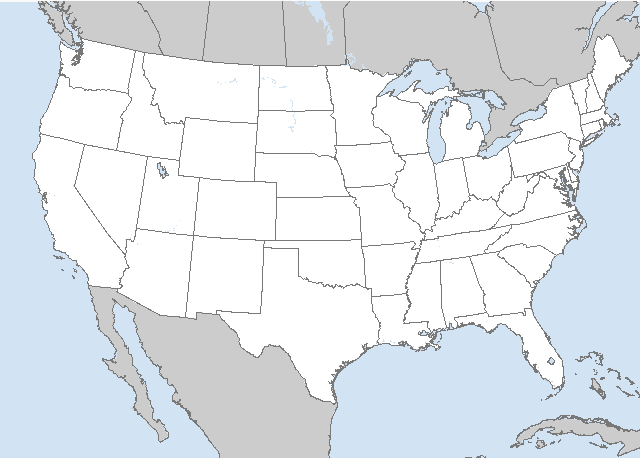
LIVE MAP (ABOVE) ... SPC 0600Z Day 2 Outlook
Day 2 Convective Outlook
NWS Storm Prediction Center Norman OK
1155 PM CDT Sat Jun 10 2023
Valid 121200Z - 131200Z
...THERE IS A SLIGHT RISK OF SEVERE THUNDERSTORMS MONDAY INTO MONDAY
NIGHT ACROSS PARTS OF THE LOWER MISSISSIPPI VALLEY AND WESTERN INTO
CENTRAL NORTH TEXAS...
...SUMMARY...
Scattered strong to severe thunderstorms may impact a corridor from
the middle and southern Atlantic Seaboard through parts of the Gulf
Coast and southern Great Plains, and from the western Texas
Panhandle into the the Colorado Front Range, Monday afternoon and
evening. Some of these may pose a risk for severe wind and hail.
...Synopsis...
Models indicate little change to the prevailing split mid/upper
flow, from the Pacific Coast into the western Atlantic, through this
period. A series of slow moving lower/mid-tropospheric cyclones,
will linger within this regime, in various stages of evolution.
While the initially most prominent circulation may shift a bit
farther offshore of the Canadian Maritimes Monday through Monday
night, the center of a similarly broad upstream circulation may
remain quasi-stationary near the Michigan Thumb, with at least a bit
more prominent short wave ridging building in between. A third
circulation may continue to gradually weaken across the Great Basin,
within elongating mid-level troughing on the northwestern periphery
of mid-level ridging across the northern Mexican Plateau and Rio
Grande Valley into the southern Great Plains.
As an occluding surface low associated with the Great Lakes
circulation migrates north/northwest of the lower Great Lakes
region, a trailing cold front is forecast to advance east of the
Appalachians and across much of the Atlantic Seaboard by late Monday
night. As this occurs, it appears that seasonably moist air will
become increasingly confined to areas along and south of the
stalling trailing flank of the front, across the Gulf coast into the
southern Great Plains. Near the northern periphery of the mid-level
ridging, into southern periphery of the downstream troughing, some
further strengthening of westerly/northwesterly mid-level flow and
steepening mid-level lapse rates may contribute to at least
increasing conditional severe thunderstorm potential.
...Mid/Southern Mid Atlantic Seaboard...
While the mid-level cold core of the Great Lakes low remains well
upstream, a belt of 30-50 kt southwesterly flow (in the 850-500 mb
layer) is forecast to overspread the region during the day Monday.
This will provide potential for enhancing thunderstorm development
within a moistening boundary-layer, along and east of the deepening
lee surface troughing. At this time, the degree of destabilization
and placement of highest thunderstorm probabilities remain unclear.
However, once this becomes better resolved, it is still possible
that severe wind probabilities could be increased in later outlooks
for this period.
...Lower Mississippi Valley into eastern Gulf coast states...
In the presence of increasing potential instability and gradually
strengthening deep-layer shear, various model output appears
increasingly suggestive that a remnant convectively generated or
enhanced perturbation could provide support for an upscale growing
cluster. It appears possible that this could initiate as early as
midday across parts of Louisiana, before progressing across parts of
southern Mississippi and Alabama by Monday evening, accompanied by
the risk for potentially damaging wind gusts with a developing
surface cold pool.
...Northwest into North Central Texas...
Although uncertainty lingers concerning the strength of mid-level
inhibition, a weak developing surface low, near the intersection of
the stalled surface front and dryline, may provide the focus for
intense thunderstorm development late Monday afternoon and evening.
Mixed-layer CAPE is forecast to become quite large, with more than
sufficient deep-layer shear to support a supercell or two capable of
producing large hail. Depending on the degree of upscale growth, a
tornado may not be out of the question, as a modest southerly
low-level jet develops toward evening. Otherwise, activity may be
accompanied by increasing risk for strong surface gusts before
waning late Monday evening.
...Texas Panhandle into Colorado Front Range...
Models continue to indicate that boundary-layer destabilization will
remain confined to a narrow corridor, along a remnant surface front
into the higher terrain, as a lead short wave impulse emerges from
the Great Basin. Still, this environment may become favorable for a
period of isolated to widely scattered strong/severe thunderstorm
development, before convection tends to advect off and away from the
higher terrain.
..Kerr.. 06/11/2023
Read more CHECK UPDATE ZOOM GRAPHIC
http://dlvr.it/SqVKsM
Windy.com Temps | Gusts | WU KORD KPWK |
CLICK for this month's BIG night sky ... | RADAR FULL MAP SCREEN |
|---|
MOBILE DEVICE? Turn sideways. Weather conditions directly above are near Lakefront. Top tabs refer to O'Hare (official).
Archives for the SPC Convective Outlook are updated daily (approximately) with a live map at the beginning of each article. Follow the link at the end of the article to check for current updates on the NOAA/NWS Storm Prediction Center website. Also, see Archives for Chicago's hourly weather data on CARDINAL NEWS Magazine.
CONVECTIVE | TORNADO | WIND | HAIL
O'Hare International Airport KORD
(Arlington Heights South)
Chicago Executive Airport KPWK
(Arlington Heights North)
Sunday, June 11, 2023
SPC Jun 11, 2023 0600 UTC Day 2 Convective Outlook
SUNRISE AND SUNSET TIMES IN UTC (if you're not logged in to Google)
CHICAGO UTC-6 during CST (Central Standard Time, e.g., winter)
CHICAGO UTC-5 during CDT (Daylight Savings Time, e.g., summer)
CHICAGO UTC-6 during CST (Central Standard Time, e.g., winter)
CHICAGO UTC-5 during CDT (Daylight Savings Time, e.g., summer)


