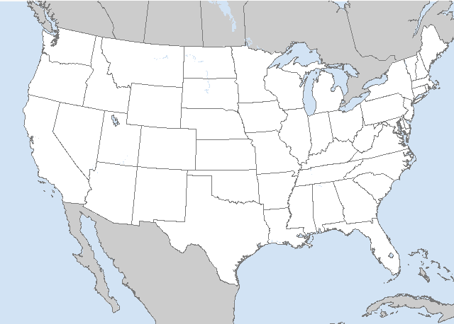
LIVE MAP (ABOVE) ... SPC 0600Z Day 2 Outlook
Day 2 Convective Outlook
NWS Storm Prediction Center Norman OK
1230 AM CDT Thu Jun 01 2023
Valid 021200Z - 031200Z
...THERE IS A SLIGHT RISK OF SEVERE THUNDERSTORMS ACROSS PORTIONS OF
WESTERN TEXAS...
...SUMMARY...
Strong to severe thunderstorms capable of producing large hail,
strong gusts and a couple of tornadoes are possible Friday afternoon
and evening across parts of the southern High Plains.
...Southern Plains vicinity...
A midlevel shortwave trough will shift east across the southern
Plains on Friday. As this occurs, 500 mb temperatures cooling to
around -10 to -12 C, resulting in steepening midlevel lapse rates,
will overspread western portions of Texas into western OK. A belt of
enhanced west/southwesterly midlevel flow associated with this
feature, atop southeasterly low-level flow, will create favorable
vertically veering wind profiles, with 40+ kt effective-shear
magnitudes supporting supercell structures. Southeasterly low-level
flow will allow for low/mid 60s F dewpoints as far west as the TX/NM
border along a surface trough. Strong heating, especially from the
Big Bend toward the South Plains vicinity, will support a corridor
of strong destabilization by afternoon (2000-3000 J/kg MLCAPE).
A mix of discrete supercells and organized clusters is expected by
late afternoon and continuing into the evening. Elongated
hodographs, in the presence of steep midlevel lapse rates/large
CAPE, and favorable midlevel shear suggest large to very large hail
will be possible, especially with more discrete convection. Steep
low-level lapse rates and modest low-level shear also will support
strong downburst winds. Damaging-wind potential may increase toward
evening as some guidance suggests a bowing MCS could develop
eastward across the Slight risk (level 2 of 5) area. This evolution
is a bit uncertain, given a lack of a strong low-level jet response
in most forecast guidance. However, if a strong-enough cold pool in
generated, some upscale development seems plausible during the
evening. While low-level shear will generally be modest, some
augmentation to strength of low-level shear is possible near a
surface low developing near the NM/TX border. Increased 0-3 km SRH
along this corridor will support a relative max in tornado
potential.
Vertical shear will weaken with northward extent into OK and KS, and
strong large-scale ascent will remain focused over west TX. This may
limit longevity of more intense/organized cells developing during
the late afternoon with northward extent. Nevertheless, moderate
instability/shear will still support isolated strong/severe storms
from western OK into southern KS.
...Northeast...
Generally weak deep-layer northerly flow will persist across the
region on the eastern periphery of a Great Lakes upper anticyclone.
Some modest midlevel cooling and weak ascent associated with an
approaching shortwave trough from Quebec, in combination with
seasonal moisture/instability will support isolated thunderstorms
during the afternoon. Vertical shear will remain very weak, limiting
longevity and organization of strong updrafts. Nevertheless, steep
midlevel lapse rates and well mixed boundary-layer could foster a
few strong gusts and small hail in stronger cells.
..Leitman.. 06/01/2023
Read more CHECK UPDATE ZOOM GRAPHIC
http://dlvr.it/SpybFv
Windy.com Temps | Gusts | WU KORD KPWK |
CLICK for this month's BIG night sky ... | RADAR FULL MAP SCREEN |
|---|
MOBILE DEVICE? Turn sideways. Weather conditions directly above are near Lakefront. Top tabs refer to O'Hare (official).
Archives for the SPC Convective Outlook are updated daily (approximately) with a live map at the beginning of each article. Follow the link at the end of the article to check for current updates on the NOAA/NWS Storm Prediction Center website. Also, see Archives for Chicago's hourly weather data on CARDINAL NEWS Magazine.
CONVECTIVE | TORNADO | WIND | HAIL
O'Hare International Airport KORD
(Arlington Heights South)
Chicago Executive Airport KPWK
(Arlington Heights North)
Thursday, June 1, 2023
SPC Jun 1, 2023 0600 UTC Day 2 Convective Outlook
SUNRISE AND SUNSET TIMES IN UTC (if you're not logged in to Google)
CHICAGO UTC-6 during CST (Central Standard Time, e.g., winter)
CHICAGO UTC-5 during CDT (Daylight Savings Time, e.g., summer)
CHICAGO UTC-6 during CST (Central Standard Time, e.g., winter)
CHICAGO UTC-5 during CDT (Daylight Savings Time, e.g., summer)


