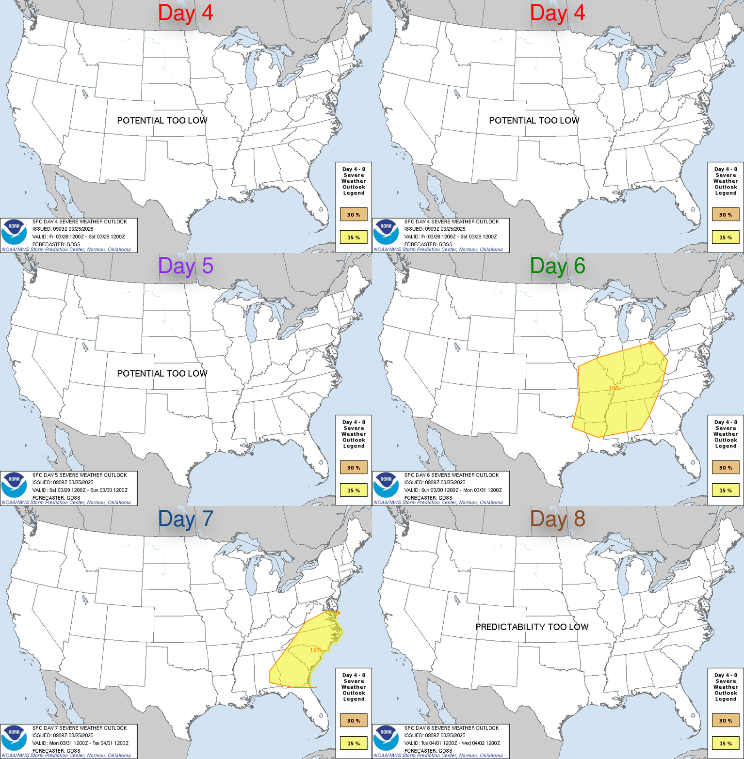
LIVE MAP (ABOVE) ... Day 4-8 Outlook
Day 4-8 Convective Outlook
NWS Storm Prediction Center Norman OK
0353 AM CDT Wed May 24 2023
Valid 271200Z - 011200Z
...DISCUSSION...
Medium-range guidance is in good agreement that a Rex Block will be
in place over the eastern CONUS D4/Saturday morning. This blocking
pattern will likely remain in place through the early next week when
the upper low moves off the Southeast coast. During this same time
frame, an upper low is forecast to drift slowly
southeastward/eastward across the Great Basin.
Low-level moisture is expected to remain in place over the Plains
and the relatively stagnant upper pattern should allow for a
somewhat repetitive scenario of afternoon thunderstorm development
across the High Plains. This will result in a broad area of at
least low severe potential across the High Plains through the
weekend and into early next week. Smaller areas of greater severe
potential may become apparent/more predicable as the forecast range
decreases.
Read more CHECK UPDATE ZOOM GRAPHIC
http://dlvr.it/SpXshz
Windy.com Temps | Gusts | WU KORD KPWK |
CLICK for this month's BIG night sky ... | RADAR FULL MAP SCREEN |
|---|
MOBILE DEVICE? Turn sideways. Weather conditions directly above are near Lakefront. Top tabs refer to O'Hare (official).
Archives for the SPC Convective Outlook are updated daily (approximately) with a live map at the beginning of each article. Follow the link at the end of the article to check for current updates on the NOAA/NWS Storm Prediction Center website. Also, see Archives for Chicago's hourly weather data on CARDINAL NEWS Magazine.
CONVECTIVE | TORNADO | WIND | HAIL
O'Hare International Airport KORD
(Arlington Heights South)
Chicago Executive Airport KPWK
(Arlington Heights North)
Wednesday, May 24, 2023
SPC May 24, 2023 Day 4-8 Severe Weather Outlook
SUNRISE AND SUNSET TIMES IN UTC (if you're not logged in to Google)
CHICAGO UTC-6 during CST (Central Standard Time, e.g., winter)
CHICAGO UTC-5 during CDT (Daylight Savings Time, e.g., summer)
CHICAGO UTC-6 during CST (Central Standard Time, e.g., winter)
CHICAGO UTC-5 during CDT (Daylight Savings Time, e.g., summer)


