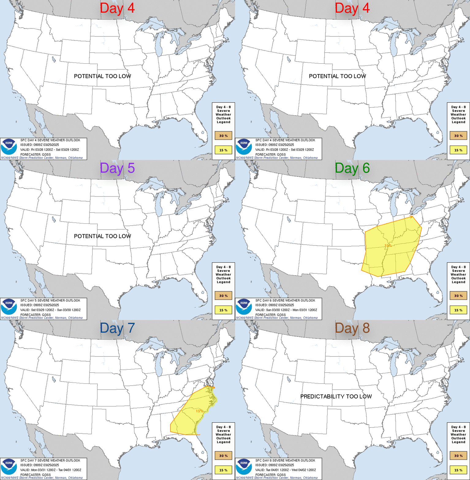
LIVE MAP (ABOVE) ... Day 4-8 Outlook
Day 4-8 Convective Outlook
NWS Storm Prediction Center Norman OK
0345 AM CDT Sun Apr 02 2023
Valid 051200Z - 101200Z
...DISCUSSION...
As a deep, occluding cyclone migrates across the Upper Midwest and
adjacent Great Lakes region into Ontario on Wednesday, its strongly
sheared warm sector (and strong south-southwesterly deep-layer mean
flow) appears likely to overspread the middle Ohio Valley through
lower Great Lakes region. Given at least weak coinciding
boundary-layer destabilization evident in the model output, it
appears that this regime probably will become conducive to organized
convection, perhaps including a few supercells, posing a risk for
severe weather.
There are also indications that appreciable destabilization is
possible to the east of the Allegheny Mountains, and near the Blue
Ridge, where strengthening south-southwesterly deep-layer mean flow
is forecast along deepening lee surface troughing by early Wednesday
evening. This environment could also become conducive to developing
severe thunderstorm potential, but remains more uncertain at the
present time.
Thereafter, into late week, low-level cooling and drying in the wake
of the cyclone is expected to contribute to increasingly negligible
severe weather potential. It appears that this will be maintained
through next weekend, as increasingly amplified flow across the
Pacific into North America includes large-scale mid-level ridging
building across the Pacific coast into the Great Plains, and
downstream troughing evolving east of the Mississippi Valley into
the western Atlantic.
Read more CHECK UPDATE ZOOM GRAPHIC
http://dlvr.it/Slsqyk
Windy.com Temps | Gusts | WU KORD KPWK |
CLICK for this month's BIG night sky ... | RADAR FULL MAP SCREEN |
|---|
MOBILE DEVICE? Turn sideways. Weather conditions directly above are near Lakefront. Top tabs refer to O'Hare (official).
Archives for the SPC Convective Outlook are updated daily (approximately) with a live map at the beginning of each article. Follow the link at the end of the article to check for current updates on the NOAA/NWS Storm Prediction Center website. Also, see Archives for Chicago's hourly weather data on CARDINAL NEWS Magazine.
CONVECTIVE | TORNADO | WIND | HAIL
O'Hare International Airport KORD
(Arlington Heights South)
Chicago Executive Airport KPWK
(Arlington Heights North)
Sunday, April 2, 2023
SPC Apr 2, 2023 Day 4-8 Severe Weather Outlook
SUNRISE AND SUNSET TIMES IN UTC (if you're not logged in to Google)
CHICAGO UTC-6 during CST (Central Standard Time, e.g., winter)
CHICAGO UTC-5 during CDT (Daylight Savings Time, e.g., summer)
CHICAGO UTC-6 during CST (Central Standard Time, e.g., winter)
CHICAGO UTC-5 during CDT (Daylight Savings Time, e.g., summer)


