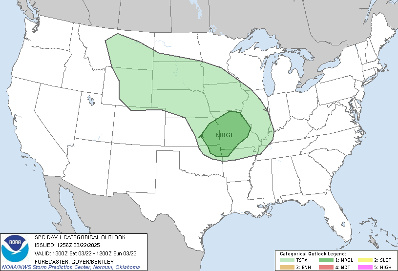
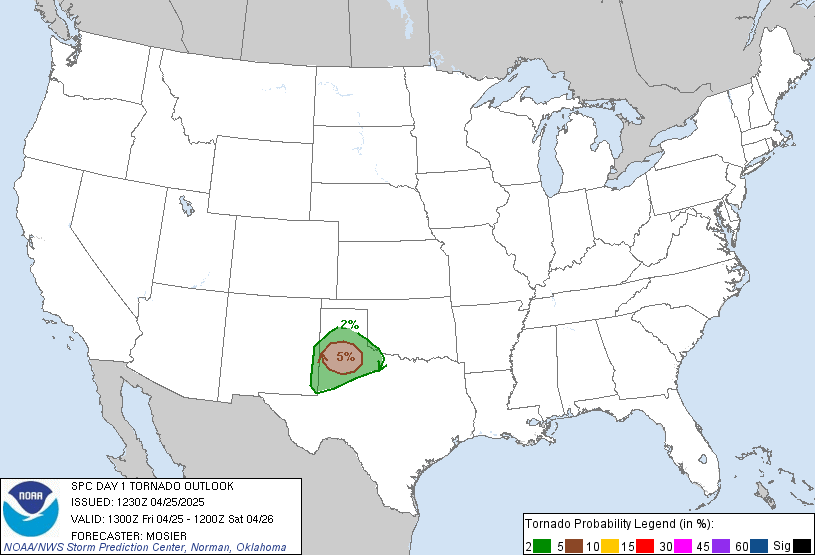
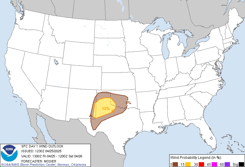
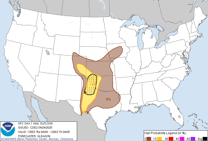
LIVE MAP (ABOVE) ... SPC 1300Z Day 1 Outlook
Day 1 Convective Outlook
NWS Storm Prediction Center Norman OK
0649 AM CST Fri Nov 13 2026
Valid 131300Z - 141200Z
...NO SEVERE THUNDERSTORM AREAS FORECAST...
...SUMMARY...
Organized severe thunderstorms are not expected across the U.S.
today or tonight.
...Southwest States including southern Arizona...
A southern-stream shortwave trough near the SoCal/northern Baja
coast will continue generally eastward along the international
border, while a more prominent upper trough amplifies a bit more
along the West Coast toward the Great Basin. Ahead of the southern
stream trough, isolated thunderstorm development will become more
probable by late morning into the afternoon across southern Arizona
as forcing for ascent overspreads a modestly moist/unstable boundary
layer.
A few stronger low-topped storms could develop/spread
north-northeastward into south-central/southeast Arizona by around
mid-afternoon. Some small hail and/or gusty winds are plausible, but
current thinking is that organized severe thunderstorm potential
will be curbed by a trend of weakening low/mid-tropospheric flow
into this afternoon (effective shear 25 kt or less), along with the
relatively cool thermal profiles and perceived limitations on
downdraft intensity. A bit later in the day, a somewhat stronger
combination of deep-layer winds and lapse rates/buoyancy could also
contribute to some stronger storm potential toward the Rio Grande
River valley of southern New Mexico and far west Texas, but overall
severe potential should remain low.
Across northern California, while lightning flash potential will
likely remain limited, some convective enhancement to the
inland-spreading precipitation may influence some stronger
near-coastal wind gusts. Additional low-topped convection is
expected as lapse rates steepen within the post-frontal environment
later today for near-coastal areas and possibly parts of the
interior valley.
..Guyer/Mead.. 11/13/2026
Read more CHECK UPDATE ZOOM GRAPHIC
http://dlvr.it/TWK8Pt
Windy.com Temps | Gusts | WU KORD KPWK |
CLICK for this month's BIG night sky ... | RADAR FULL MAP SCREEN |
|---|
MOBILE DEVICE? Turn sideways. Weather conditions directly above are near Lakefront. Top tabs refer to O'Hare (official).
Archives for the SPC Convective Outlook are updated daily (approximately) with a live map at the beginning of each article. Follow the link at the end of the article to check for current updates on the NOAA/NWS Storm Prediction Center website. Also, see Archives for Chicago's hourly weather data on CARDINAL NEWS Magazine.
CONVECTIVE | TORNADO | WIND | HAIL
O'Hare International Airport KORD
(Arlington Heights South)
Chicago Executive Airport KPWK
(Arlington Heights North)
Friday, November 13, 2026
SPC Nov 13, 2026 1300 UTC Day 1 Convective Outlook
SPC Nov 13, 2026 0600 UTC Day 1 Convective Outlook
LIVE MAP (ABOVE) ... SPC 1200Z Day 1 Outlook
Day 1 Convective Outlook
NWS Storm Prediction Center Norman OK
1110 PM CST Thu Nov 12 2026
Valid 131200Z - 141200Z
...NO SEVERE THUNDERSTORM AREAS FORECAST...
...SUMMARY...
Severe thunderstorms are not forecast across the U.S. today and
tonight.
...Synopsis...
An upper shortwave trough near the California coast this morning
will shift east toward the southern Rockies by Saturday morning.
Cooling aloft will support weak instability across portions of
southern AZ/NM to Far West TX. Boundary layer moisture is expected
to remain modest, with the dewpoints generally in the 40s and 50s F.
This will support scattered thunderstorms during the afternoon
across southern AZ/NM, spreading eastward toward southwest TX by
late afternoon/early evening. Southerly deep-layer flow is forecast,
with effective shear magnitudes generally around 20-25 kt. Modest
shear and instability will likely limit severe potential, though
gusty winds and small hail could occur with the strongest storms.
Additional thunderstorms are possible across portions of coastal OR
into northern/central CA as a second upper shortwave trough moves
inland across the Pacific Northwest and Great Basin. A lightning
flash or two is possible during the nighttime hours from central CA
into the Great Basin, but overall coverage is expected to remain
less than 10 percent.
..Leitman/Chalmers.. 11/13/2026
Read more CHECK UPDATE ZOOM GRAPHIC
http://dlvr.it/TWJw7W
Day 1 Convective Outlook
NWS Storm Prediction Center Norman OK
1110 PM CST Thu Nov 12 2026
Valid 131200Z - 141200Z
...NO SEVERE THUNDERSTORM AREAS FORECAST...
...SUMMARY...
Severe thunderstorms are not forecast across the U.S. today and
tonight.
...Synopsis...
An upper shortwave trough near the California coast this morning
will shift east toward the southern Rockies by Saturday morning.
Cooling aloft will support weak instability across portions of
southern AZ/NM to Far West TX. Boundary layer moisture is expected
to remain modest, with the dewpoints generally in the 40s and 50s F.
This will support scattered thunderstorms during the afternoon
across southern AZ/NM, spreading eastward toward southwest TX by
late afternoon/early evening. Southerly deep-layer flow is forecast,
with effective shear magnitudes generally around 20-25 kt. Modest
shear and instability will likely limit severe potential, though
gusty winds and small hail could occur with the strongest storms.
Additional thunderstorms are possible across portions of coastal OR
into northern/central CA as a second upper shortwave trough moves
inland across the Pacific Northwest and Great Basin. A lightning
flash or two is possible during the nighttime hours from central CA
into the Great Basin, but overall coverage is expected to remain
less than 10 percent.
..Leitman/Chalmers.. 11/13/2026
Read more CHECK UPDATE ZOOM GRAPHIC
http://dlvr.it/TWJw7W
Thursday, November 12, 2026
SPC Nov 13, 2026 0100 UTC Day 1 Convective Outlook
LIVE MAP (ABOVE) ... SPC 0100Z Day 1 Outlook
Day 1 Convective Outlook
NWS Storm Prediction Center Norman OK
0637 PM CST Thu Nov 12 2026
Valid 130100Z - 131200Z
...NO SEVERE THUNDERSTORM AREAS FORECAST...
...SUMMARY...
Severe thunderstorms are not expected the remainder of tonight into
early Friday.
...01z Update...
Severe probabilities have been removed from the Mid-Atlantic as
earlier strong/severe convection has weakened and moved offshore.
Severe thunderstorms are not expected the remainder of tonight.
Isolated thunderstorms may occur late tonight/early Friday morning
near the southern CA coast as an upper shortwave trough shifts east
across the area. Generally modest low to mid-level flow and weak
instability will preclude severe thunderstorm potential with this
activity.
..Leitman.. 11/13/2026
Read more CHECK UPDATE ZOOM GRAPHIC
http://dlvr.it/TWJnGp
Day 1 Convective Outlook
NWS Storm Prediction Center Norman OK
0637 PM CST Thu Nov 12 2026
Valid 130100Z - 131200Z
...NO SEVERE THUNDERSTORM AREAS FORECAST...
...SUMMARY...
Severe thunderstorms are not expected the remainder of tonight into
early Friday.
...01z Update...
Severe probabilities have been removed from the Mid-Atlantic as
earlier strong/severe convection has weakened and moved offshore.
Severe thunderstorms are not expected the remainder of tonight.
Isolated thunderstorms may occur late tonight/early Friday morning
near the southern CA coast as an upper shortwave trough shifts east
across the area. Generally modest low to mid-level flow and weak
instability will preclude severe thunderstorm potential with this
activity.
..Leitman.. 11/13/2026
Read more CHECK UPDATE ZOOM GRAPHIC
http://dlvr.it/TWJnGp
SPC Nov 12, 2026 1630 UTC Day 1 Convective Outlook
LIVE MAP (ABOVE) ... SPC 1630Z Day 1 Outlook
Day 1 Convective Outlook
NWS Storm Prediction Center Norman OK
1019 AM CST Thu Nov 12 2026
Valid 121630Z - 131200Z
...THERE IS A SLIGHT RISK OF SEVERE THUNDERSTORMS THIS AFTERNOON
OVER A SMALL PART OF EASTERN PENNSYLVANIA AND CENTRAL NEW JERSEY....
...SUMMARY...
Strong to severe thunderstorms capable of producing isolated severe
hail, a tornado or two, and perhaps damaging winds may impact parts
of the coastal Mid-Atlantic this afternoon.
...Eastern PA/NJ/Northern DE...
Latest surface analysis shows a developing surface low over northern
VA. This low is expected to deepen somewhat through the day and
track eastward across NJ as a potent shortwave trough moves into the
region. The zone near the surface low and extending eastward along
the surface warm front will be a focused region of ascent and
destabilization this afternoon, with forecast soundings showing
MLCAPE of 500-900 J/kg, steep lapse rates, and considerable
low-level shear/helicity profiles. A consensus of morning
HRRR/RRFS/REFS solutions show the development of isolated supercell
storms in this focused area. The risk area is quite small, but
given the consistent guidance have opted for a small SLGT risk to
cover the potential threats. Hail is probably the main concern with
any persistent supercell structure, but a tornado or two is also
possible. Refer to MCD #2451 for further details.
..Hart/Dean.. 11/12/2026
Read more CHECK UPDATE ZOOM GRAPHIC
http://dlvr.it/TWJf3d
Day 1 Convective Outlook
NWS Storm Prediction Center Norman OK
1019 AM CST Thu Nov 12 2026
Valid 121630Z - 131200Z
...THERE IS A SLIGHT RISK OF SEVERE THUNDERSTORMS THIS AFTERNOON
OVER A SMALL PART OF EASTERN PENNSYLVANIA AND CENTRAL NEW JERSEY....
...SUMMARY...
Strong to severe thunderstorms capable of producing isolated severe
hail, a tornado or two, and perhaps damaging winds may impact parts
of the coastal Mid-Atlantic this afternoon.
...Eastern PA/NJ/Northern DE...
Latest surface analysis shows a developing surface low over northern
VA. This low is expected to deepen somewhat through the day and
track eastward across NJ as a potent shortwave trough moves into the
region. The zone near the surface low and extending eastward along
the surface warm front will be a focused region of ascent and
destabilization this afternoon, with forecast soundings showing
MLCAPE of 500-900 J/kg, steep lapse rates, and considerable
low-level shear/helicity profiles. A consensus of morning
HRRR/RRFS/REFS solutions show the development of isolated supercell
storms in this focused area. The risk area is quite small, but
given the consistent guidance have opted for a small SLGT risk to
cover the potential threats. Hail is probably the main concern with
any persistent supercell structure, but a tornado or two is also
possible. Refer to MCD #2451 for further details.
..Hart/Dean.. 11/12/2026
Read more CHECK UPDATE ZOOM GRAPHIC
http://dlvr.it/TWJf3d
Subscribe to:
Posts (Atom)
SUNRISE AND SUNSET TIMES IN UTC (if you're not logged in to Google)
CHICAGO UTC-6 during CST (Central Standard Time, e.g., winter)
CHICAGO UTC-5 during CDT (Daylight Savings Time, e.g., summer)
CHICAGO UTC-6 during CST (Central Standard Time, e.g., winter)
CHICAGO UTC-5 during CDT (Daylight Savings Time, e.g., summer)