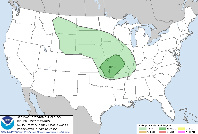
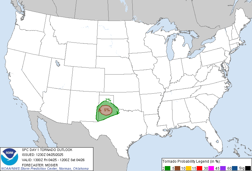
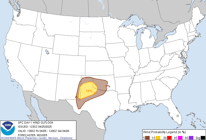
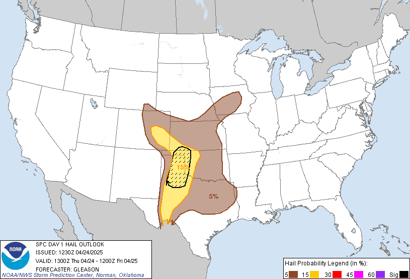
LIVE MAP (ABOVE) ... SPC 0100Z Day 1 Outlook
Day 1 Convective Outlook
NWS Storm Prediction Center Norman OK
0637 PM CST Thu Nov 12 2026
Valid 130100Z - 131200Z
...NO SEVERE THUNDERSTORM AREAS FORECAST...
...SUMMARY...
Severe thunderstorms are not expected the remainder of tonight into
early Friday.
...01z Update...
Severe probabilities have been removed from the Mid-Atlantic as
earlier strong/severe convection has weakened and moved offshore.
Severe thunderstorms are not expected the remainder of tonight.
Isolated thunderstorms may occur late tonight/early Friday morning
near the southern CA coast as an upper shortwave trough shifts east
across the area. Generally modest low to mid-level flow and weak
instability will preclude severe thunderstorm potential with this
activity.
..Leitman.. 11/13/2026
Read more CHECK UPDATE ZOOM GRAPHIC
http://dlvr.it/TWJnGp
Windy.com Temps | Gusts | WU KORD KPWK |
CLICK for this month's BIG night sky ... | RADAR FULL MAP SCREEN |
|---|
MOBILE DEVICE? Turn sideways. Weather conditions directly above are near Lakefront. Top tabs refer to O'Hare (official).
Archives for the SPC Convective Outlook are updated daily (approximately) with a live map at the beginning of each article. Follow the link at the end of the article to check for current updates on the NOAA/NWS Storm Prediction Center website. Also, see Archives for Chicago's hourly weather data on CARDINAL NEWS Magazine.
CONVECTIVE | TORNADO | WIND | HAIL
O'Hare International Airport KORD
(Arlington Heights South)
Chicago Executive Airport KPWK
(Arlington Heights North)
Thursday, November 12, 2026
SPC Nov 13, 2026 0100 UTC Day 1 Convective Outlook
SUNRISE AND SUNSET TIMES IN UTC (if you're not logged in to Google)
CHICAGO UTC-6 during CST (Central Standard Time, e.g., winter)
CHICAGO UTC-5 during CDT (Daylight Savings Time, e.g., summer)
CHICAGO UTC-6 during CST (Central Standard Time, e.g., winter)
CHICAGO UTC-5 during CDT (Daylight Savings Time, e.g., summer)