Day 1 Convective Outlook
NWS Storm Prediction Center Norman OK
1132 PM CST Sun Nov 08 2026
Valid 091200Z - 101200Z
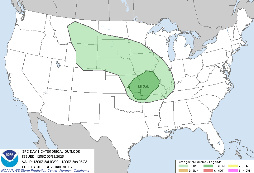
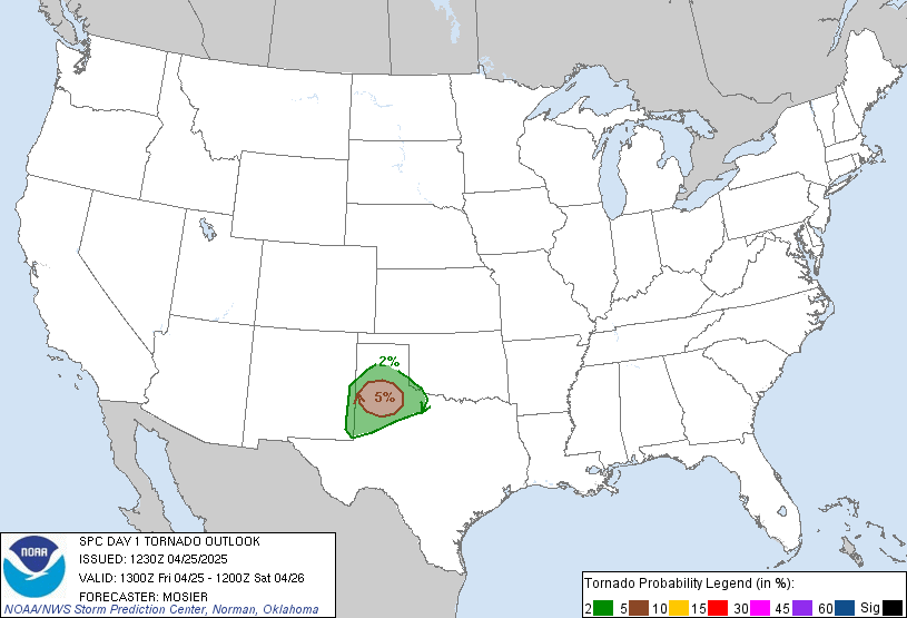
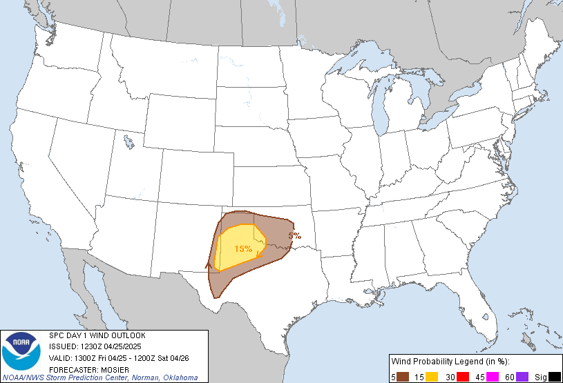
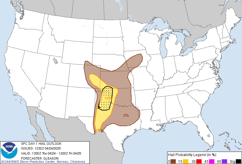
...NO SEVERE THUNDERSTORM AREAS FORECAST...
...SUMMARY...
Severe thunderstorms appear unlikely across the U.S. Monday through
Monday night.
...South Texas...
An upper low initially near the Big Bend region at 12z Monday is
forecast to weaken through the day while a series of embedded
perturbations track from the lower Rio Grande Valley along the
coast. Forcing for ascent associated with those features along with
persistent low/mid-level warm advection is likely to sustain
scattered thunderstorms through the morning with areal coverage
gradually decreasing by mid to late afternoon.
Similar to Sunday, the kinematic environment will feature veering
winds with height with around 40 kt of deep-layer shear, which would
conditionally support supercell storm modes and some severe weather
threat. While a strong storm or two is possible Monday morning, it
appears that outflow associated with early-day convection is likely
to limit more robust air mass destabilization and an associated
severe weather threat.
...Pacific Northwest...
A short-wave trough is forecast to move onshore Monday afternoon
with associated height falls/midlevel cooling coinciding with moist,
onshore flow in the low levels. Those processes will yield weak
instability (MUCAPE of 100-200 J/kg) with forecast soundings
indicating the potential for convective updrafts to reach sufficient
depth for episodic lightning activity from the coast inland to at
least the Cascades Monday afternoon and evening. Somewhat analogous
to Saturday, strong low-level winds are forecast ahead of the
surface front, suggesting some potential for a few strong wind gusts
in association with any deeper convective elements moving onshore.
...South Florida...
A few lightning strikes may occur with diurnally enhanced
thunderstorms Monday afternoon amidst a moist and marginally
unstable air mass. However, forecast soundings indicate a warm and
dry nose centered in the 650-600 mb layer, which will likely inhibit
the majority of convective updrafts from reaching sufficient depth
for lightning discharge.
..Mead.. 11/09/2026
Read more CHECK UPDATE ZOOM GRAPHIC
http://dlvr.it/TWFpjV