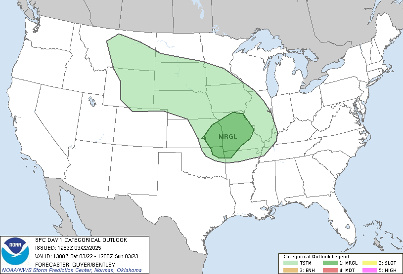
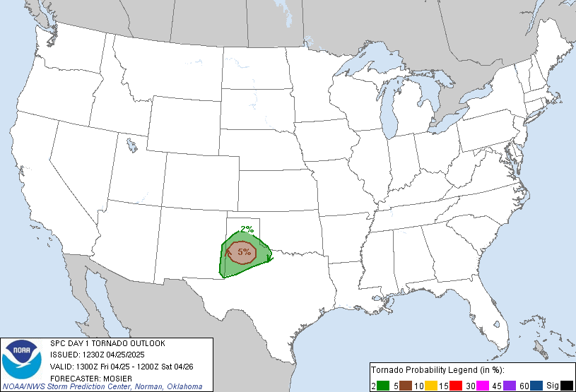
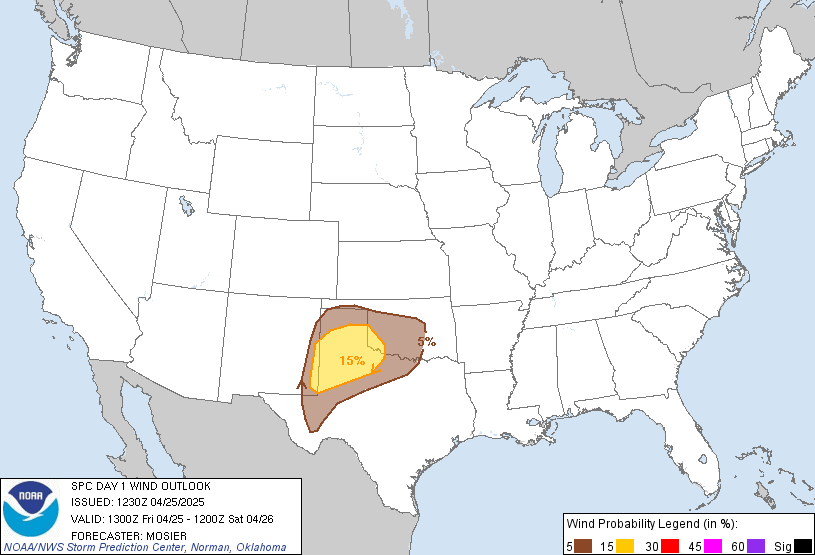
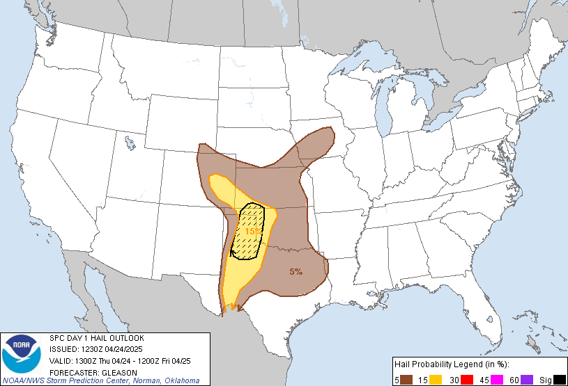
Day 1 Convective Outlook
NWS Storm Prediction Center Norman OK
1014 AM CST Sun Nov 08 2026
Valid 081630Z - 091200Z
...THERE IS A MARGINAL RISK OF SEVERE THUNDERSTORMS TODAY ALONG THE
MIDDLE-LOWER TEXAS COAST...
...SUMMARY...
Strong to locally severe thunderstorms may occur today across parts
of south Texas. Isolated damaging winds and perhaps a brief tornado
appear possible.
...Middle-lower TX coast today...
A midlevel low over northern Mexico will drift slowly eastward and
weaken through the period. At the surface, a baroclinic zone along
the middle-lower TX coast will provide a focus for thunderstorms
rooted at the surface, where boundary-layer dewpoints will remain
near 70 F. Per the 12z observed soundings/VWPs/model forecasts,
deep-layer vertical shear will remain sufficient for some embedded
rotating storms, with the relatively stronger low-level
shear/hodograph curvature expected along the north edge of the
surface-based buoyancy with a small MCV just south of CRP. Poor
midlevel lapse rates will temper the overall severe threat, though
an isolated, weak tornado and/or localized wind damage will be
possible with embedded circulations today.
Otherwise, elevated thunderstorms will remain possible from the
Edwards Plateau into interior south TX in a moist environment with
ascent and weak buoyancy atop the cooler near-surface air mass.
...Pacific Northwest and the lower Great Lakes...
The potential for isolated lightning flashes with low-topped
convection will diminish across northwest WA by about midday as a
midlevel trough moves inland and height rises ensue. A separate
midlevel trough will continue southeastward over the lower Great
Lakes by this evening into early tonight. Cooling midlevel
temperatures and weak buoyancy aided by the relatively warm lakes
will support convection that could become sufficiently deep to
support charge separation and isolated lightning flashes.
..Thompson/Barnes.. 11/08/2026
Read more CHECK UPDATE ZOOM GRAPHIC
http://dlvr.it/TWFZhF