Day 1 Convective Outlook
NWS Storm Prediction Center Norman OK
1133 PM CST Sat Nov 07 2026
Valid 081200Z - 091200Z
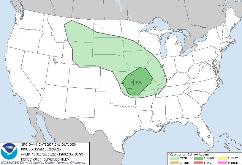
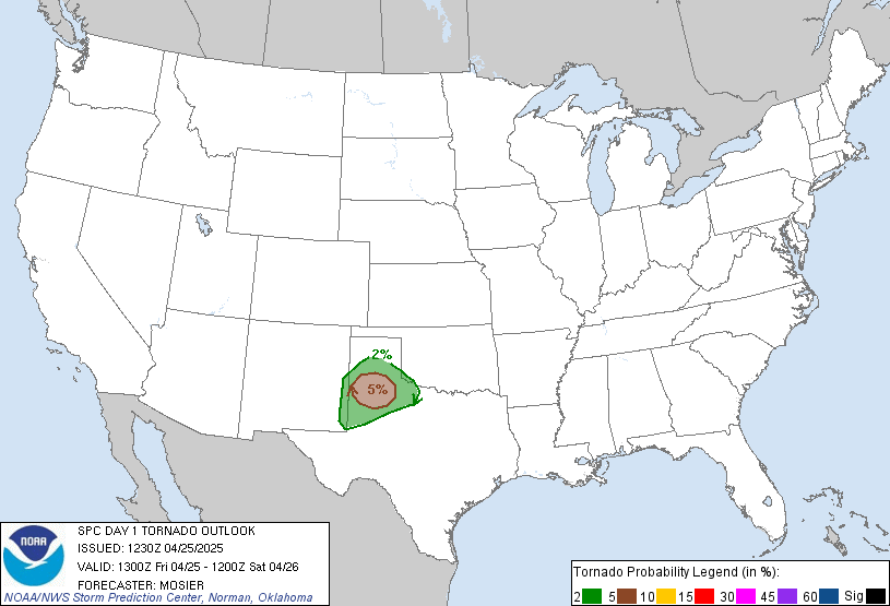
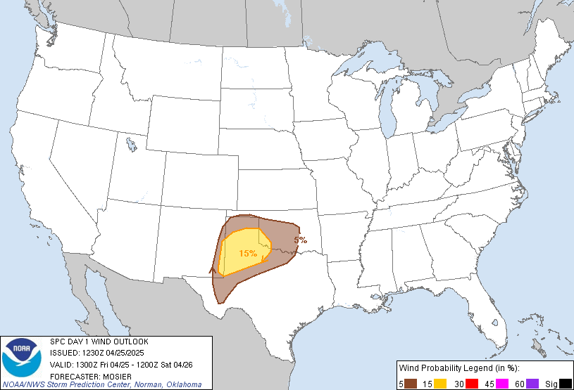
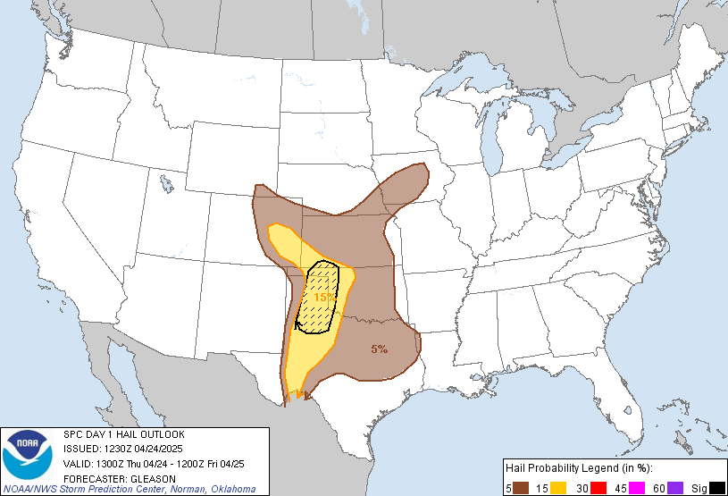
...NO SEVERE THUNDERSTORM AREAS FORECAST...
...SUMMARY...
Severe storms appear unlikely across the U.S. Sunday through Sunday
night.
...South Texas...
An upper low over Sonora, Mexico, late this evening is forecast to
move/develop toward the TX Big Bend with an attending belt of
enhanced mid/upper-level flow present over central and southern TX.
The 00Z Brownsville and Corpus Christi, TX, soundings sampled a
seasonably moist air mass (e.g., PW of 1.7") advancing inland ahead
of the upper-air system with boundary-layer dewpoints expected to
rise into the low to mid 70s across Deep South TX on Sunday. That
moisture will contribute to at least marginal instability, which,
coupled with persistent low/midlevel warm advection downstream from
the upper low, will foster multiple waves of thunderstorms during
the forecast period.
A vertically veering wind profile with up to 35-40 kt of deep-layer
shear is forecast across the region on Sunday, which would
conditionally support supercell storm modes and an associated severe
weather threat. However, considerable uncertainty exists in the
extent to which the air mass can destabilize due to the deleterious
effects of convective outflow and cloud cover arising from early-day
storms. As such, no severe weather probabilities will be included in
this forecast.
...Washington...
While the strongest forcing for ascent will shift away from the
region Sunday morning, steep lapse rates in the 0-3 km layer may
support a few sufficiently deep convective updrafts for lightning
generation into afternoon.
...Lower Great Lakes and Maine...
Isolated lightning occurrences appear possible over ME Sunday
morning in association with an upper low moving through the area.
Sporadic lightning activity may also occur in the lee of the lower
Great Lakes Sunday night within a zone of strong dynamic
ascent/midlevel cooling present on the cyclonic side of
mid/upper-level wind maxima progressing into the region. In both
areas, areal lightning coverage is expected to be less than 10%.
..Mead.. 11/08/2026
Read more CHECK UPDATE ZOOM GRAPHIC
http://dlvr.it/TWFGt2