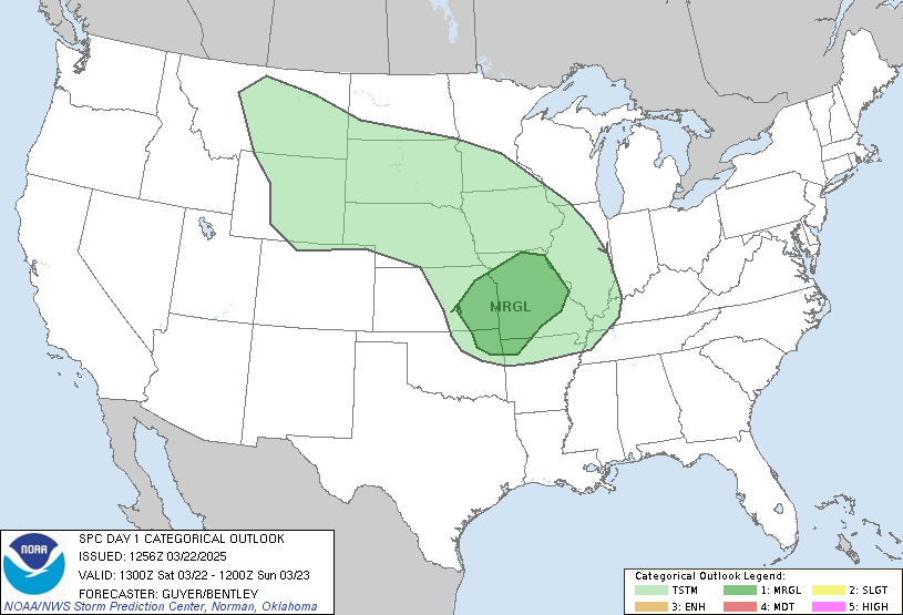
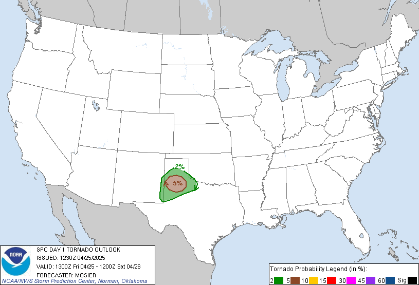
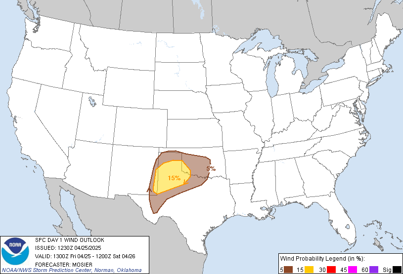
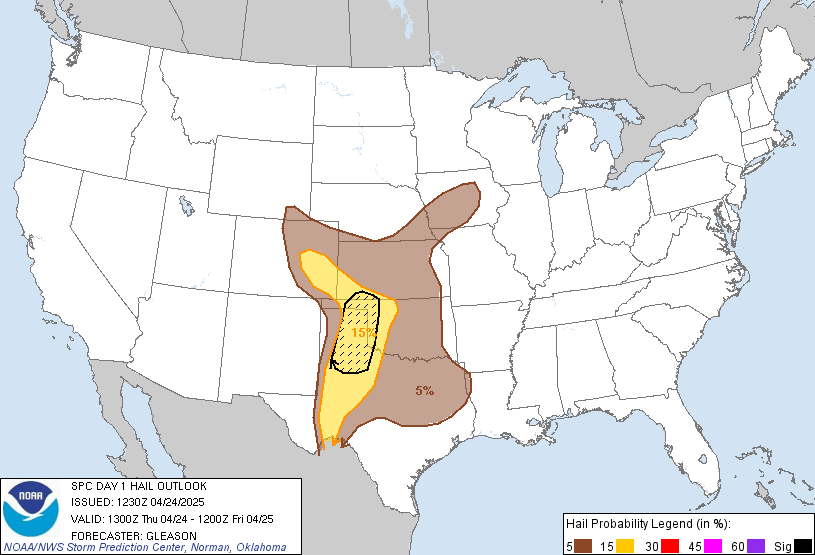
Day 1 Convective Outlook
NWS Storm Prediction Center Norman OK
0633 PM CST Sat Nov 07 2026
Valid 080100Z - 081200Z
...THERE IS A MARGINAL RISK OF SEVERE THUNDERSTORMS OVER NORTHWEST
WASHINGTON...
...SUMMARY...
Isolated damaging gusts may occur over portions of northwest
Washington this evening into tonight.
...Northwest Washington...
Level-1/Marginal Risk wind probabilities have been expanded inland
with this forecast update to account for a potentially wider
corridor of severe wind gust potential, mainly in the 08/02-05z
timeframe.
A strongly forced prefrontal rainband currently off the coast will
move onshore within the next hour or so before reaching the I-5
corridor by 08/05-06z. Very strong low-level flow precedes the
rainband with KLGX VWP data indicating 50-55 kt southerly winds in
the lowest km AGL. While instability remains quite weak (MUCAPE of
100-150 J/kg, per the 00Z UIL sounding), downdraft-aided turbulent
mixing in the vicinity of embedded bowing/LEWP structures may be
sufficient to support isolated severe wind gusts as the band moves
inland. A few strong to severe wind gusts and greater lightning
potential may accompany widely scattered, post-frontal convection
moving onshore in tandem with a plume of steepening 0-3 km lapse
rates.
...Central Texas into the lower Rio Grande Valley...
Downstream from an upper low over northwest Mexico, a weak
perturbation has advanced into west-central TX this evening with a
secondary, stronger impulse forecast to overspread the Edwards
Plateau overnight. Forcing for ascent associated with those features
will interact with a marginally unstable air mass (MUCAPE < 1000
J/kg) to support a gradual increase in thunderstorm coverage into
early Sunday morning, especially over the lower Rio Grande
Valley/Deep South TX. Onshore flow of an increasingly moist boundary
layer (per the 00Z BRO sounding) into those areas may allow some
storms to become surface-based amidst a modestly sheared kinematic
environment. While a strong storm or two is possible, severe weather
potential currently appears negligible.
...Maine...
Within the base of broader midlevel troughing, an intense vorticity
maximum will pivot from the Mid-Atlantic into New England overnight,
yielding strong forcing for ascent across the region. The 00Z CAR
sounding exhibited modestly steep midlevel lapse rates atop a rather
deep saturated layer, which yields MUCAPE of 200-300 J/kg -
sufficient for isolated thunderstorm development.
..Mead.. 11/08/2026
Read more CHECK UPDATE ZOOM GRAPHIC
http://dlvr.it/TWF99c