Day 1 Convective Outlook
NWS Storm Prediction Center Norman OK
1153 PM CST Thu Nov 05 2026
Valid 061200Z - 071200Z
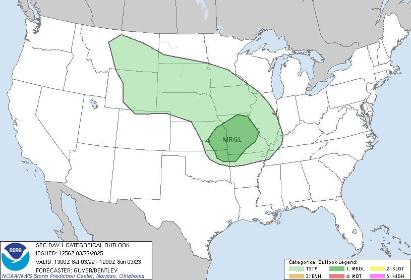
...THERE IS A MARGINAL RISK OF SEVERE THUNDERSTORMS FROM PORTIONS OF
THE CAROLINAS TO THE MID ATLANTIC COAST...
...SUMMARY...
Isolated strong to severe storms are possible over parts of the
eastern Carolinas and southern Mid Atlantic Coast.
...Carolinas/Atlantic Coast...
An upper low over eastern Great Lakes at the start of the forecast
period is forecast merge with a shortwave trough moving from the mid
MS Valley across the central Appalachians. A belt of enhanced
deep-layer southwesterly flow will accompany the low across much of
the Eastern Seaboard. At the surface, a cold front and broad area of
low pressure will stretch from southern New England to eastern North
Carolina. The low and front should gradually strengthen as they and
the upper trough move offshore into early Saturday morning.
Early in the period ahead of the cold front, a band of scattered
showers and thunderstorms are likely to be ongoing from southern New
England to the Carolinas, associated with continued northward
advection of mid 60s to low 70s F surface dewpoints. Enhanced flow
aloft will overspread the area through the morning generally
parallel to the advancing front. The strongest upper-level winds
will likely remain on the cool side of the boundary, but model
soundings show effective shear values increasing to 30-40 kt within
the warm sector by late morning.
Given the presence of the unseasonably humid air mass, diurnal
heating and destabilization will tend to be muted by residual cloud
cover, especially with northward extent. Still, cooling mid-level
temperatures and modest buoyancy (MLCAPE ~500 J/kg) should be
sufficient to maintain isolated stronger storms eastward through
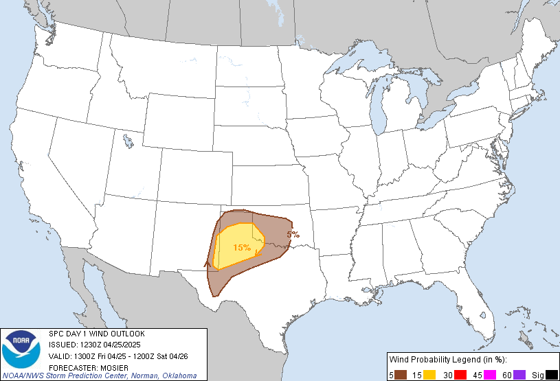
midday. Some organization into linear clusters or short bowing
segments is possible which would support a risk for damaging gusts.
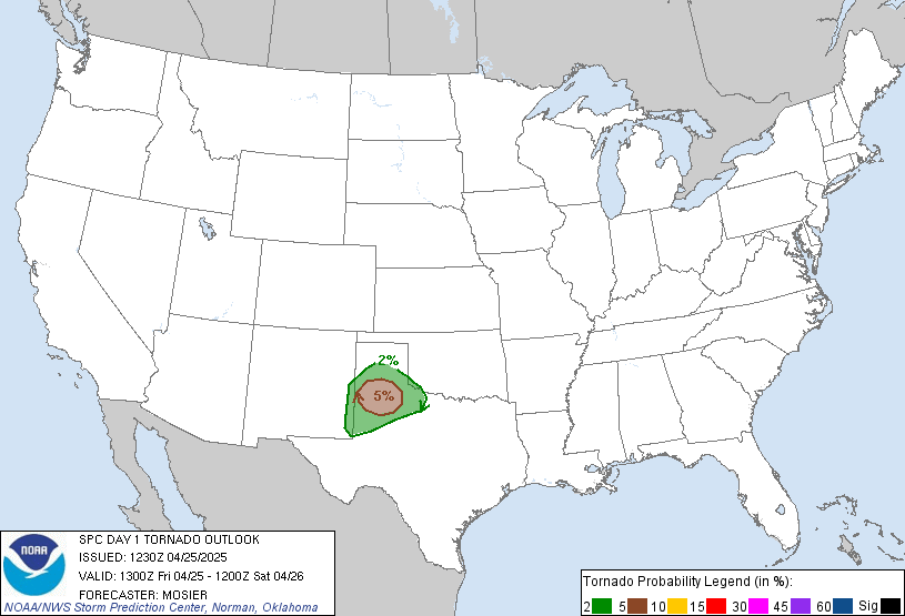
Adequate hodograph curvature in the lowest 1-2 km could also support
a brief tornado before convection weakens and moves offshore later
in the afternoon/early evening.
...AZ...
A second upper trough will move from the southern Great Basin into
the Southwest today and tonight. Cold mid-level temperatures will
accompany the upper trough, steeping mid-level lapse rates and
allowing for weak elevated buoyancy to develop. However the limited
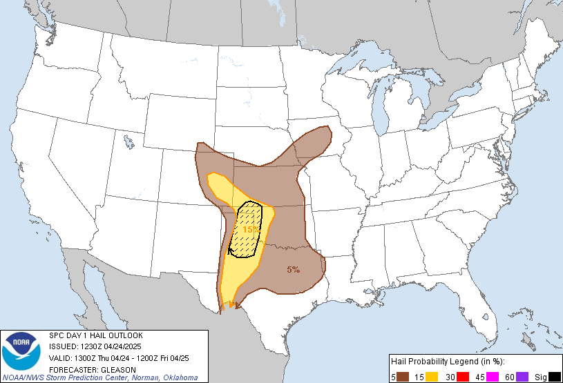
instability and vertical shear should preclude a severe risk outside
of sporadic hail with an isolated stronger storm.
..Lyons/Halbert-K.. 11/06/2026
Read more CHECK UPDATE ZOOM GRAPHIC
http://dlvr.it/TWD0gh