Day 1 Convective Outlook
NWS Storm Prediction Center Norman OK
0202 PM CST Mon Nov 02 2026
Valid 022000Z - 031200Z
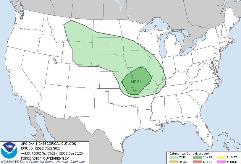
...THERE IS AN ENHANCED RISK OF SEVERE THUNDERSTORMS ACROSS
NORTH-CENTRAL OKLAHOMA AND SOUTH-CENTRAL KANSAS...
...SUMMARY...
Severe thunderstorms with damaging wind gusts, hail, and a few
tornadoes are expected across parts of the southern and central
Plains from this afternoon into tonight.
...20Z Update...
A potent shortwave trough evident in water vapor satellite imagery
is beginning to take on a neutral-to-negative tilt, as the trough
and its associated jet streak progresses eastward out of New Mexico
into the Texas Panhandle. In advance of this shortwave, deepening
cumulus and thunderstorm development in response to the approaching
wave are evident on visible satellite and radar imagery. As better
moisture is transported northward ahead of this development and a
narrow corridor of mixing further destabilizes the environment,
these (and subsequent) thunderstorms are expected to become severe.
Storms should initially favor a supercell mode before growing
upscale into linear convective complexes.
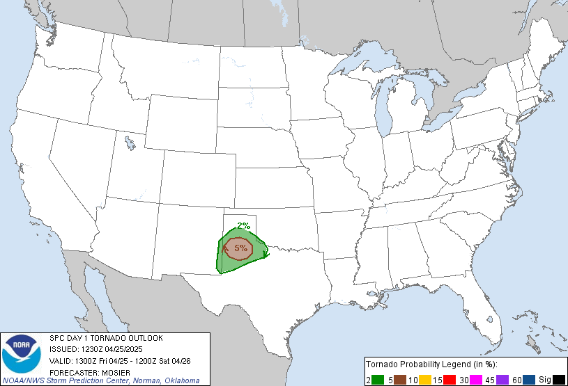
The Enhanced Risk for tornadoes was expanded south and west into
portions of Central Oklahoma to account for recent observational
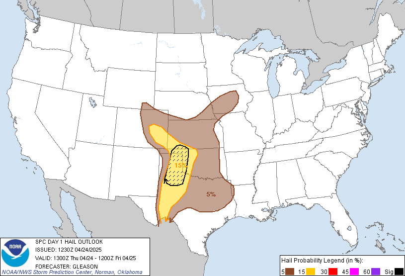
trends and short-term forecast guidance, while hail probabilities
were expanded further north and east to account for ongoing elevated
convection capable of 1.00-1.50 inch hail. Greater uncertainty
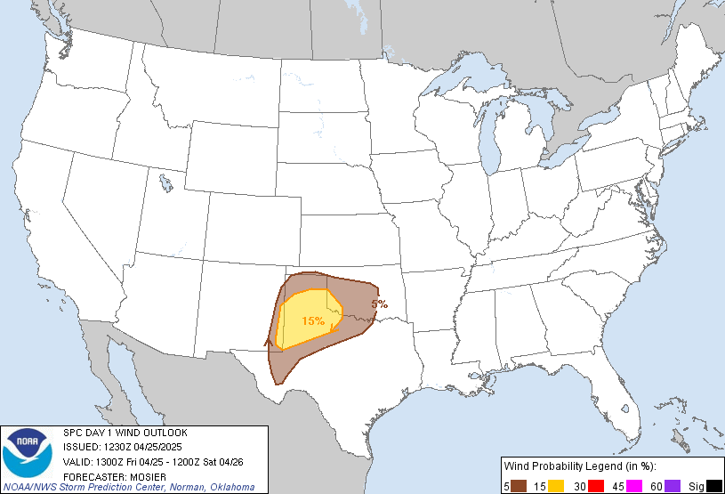
exists in where the primary corridor of damaging wind potential will
materialize, but leading edge bowing segments will be capable of
65-80 MPH damaging wind gusts.
..Halbert-K.. 11/02/2026
.PREV DISCUSSION... /ISSUED 1006 AM CST Mon Nov 02 2026/
...Central/Southern Plains...
A large upper trough is present today over the western states, with
a strong shortwave trough rotating across the Four-Corners area. As
this features and its associated 80+ knot mid level jet begin to
eject into the southern Plains this afternoon, numerous
thunderstorms are expected to form from west-central TX northward
into parts of KS/NE. Widespread dewpoints in the low-mid 60s,
pockets of heating, and strong low-level winds across a broad area
will result in conditional risks of damaging winds, a few tornadoes,
and some hail. However, there are a few specific scenarios that
appear most likely to focus that risk.
...OK/KS early this afternoon...
Water vapor imagery shows a lead trough currently moving into
western OK. This feature is expected to aid in the development of
scattered thunderstorms by early afternoon, tracking into southern
KS. Wind fields are very strong in this area, and a few supercell
structures are expected. However, forecast soundings show poor
low-level thermodynamics with LFC heights around 700mb. This should
limit the severe risk.
...KS/OK/North TX this afternoon/evening...
The primary severe risk will be with storms forming along the
surface dryline over western OK and south-central KS by late
afternoon. These storms will also be in a favorable shear profile
for supercell structures, but cooling temperatures aloft will also
increase the risk of robust updrafts as storms track quickly
northeastward. Damaging winds and a few tornadoes are the main
concerns. By early evening, the Pacific cold front will catch up to
the convective line, resulting in more linear structures and greater
wind potential.
...West-Central TX...
The aforementioned convective line will build southward into
west-central TX through the evening, with some risk of damaging
winds and a tornado or two. Low-level winds and large-scale
dynamics will be weaker with southward extent, lessening the overall
severe threat.
Read more CHECK UPDATE ZOOM GRAPHIC
http://dlvr.it/TW95Hr