Day 1 Convective Outlook
NWS Storm Prediction Center Norman OK
0658 AM CST Mon Nov 02 2026
Valid 021300Z - 031200Z
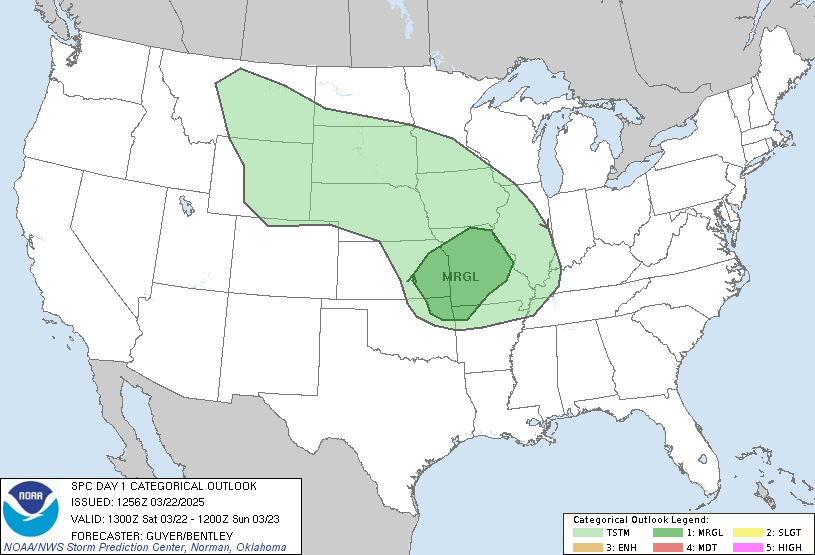
...THERE IS AN ENHANCED RISK OF SEVERE THUNDERSTORMS ACROSS
NORTH-CENTRAL OKLAHOMA AND SOUTH-CENTRAL KANSAS...
...SUMMARY...
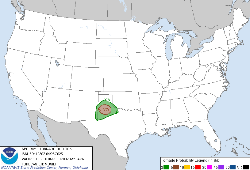
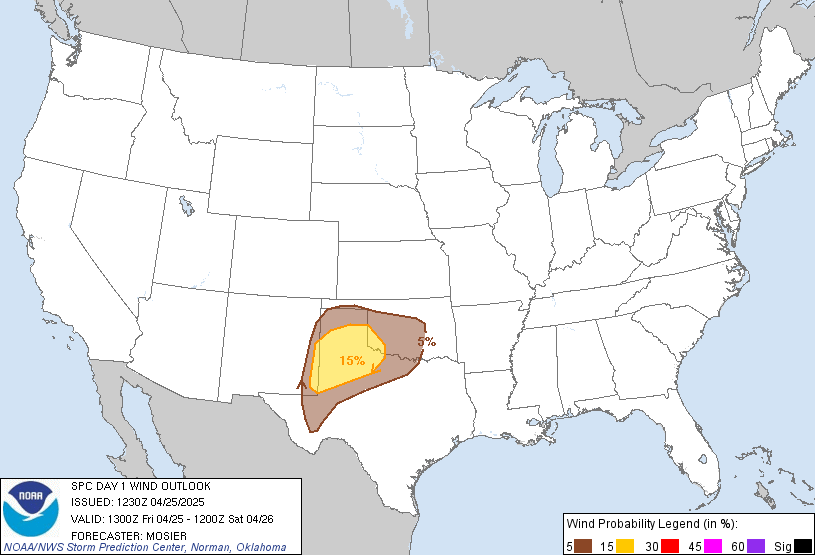
Severe thunderstorms with damaging wind gusts and a few tornadoes
are expected across parts of the southern and central Plains from
this afternoon into tonight.
...Synopsis...
Early-morning satellite imagery shows a deep shortwave trough
progressing through the Four Corners vicinity, with a lead shortwave
trough moving through the central Plains. Evolution of the lead
shortwave has contributed to the development of a pair of surface
lows, one near the MT/SD/ND border intersection and the other over
the western NE/SD border vicinity. Recent surface analysis reveals a
cold front extending between these two lows and south-southwestward
from the southernmost low through eastern CO. A large warm sector
precedes this cold front, with 60s dewpoints reaching into central
NE and mid 60s reaching through the eastern TX and OK Panhandles
into western KS.
The Four Corners shortwave trough is forecast to continue eastward
today, reaching the central/southern High Plains by this afternoon
and through much of the central and southern Plains by early Tuesday
morning. Strong southwesterly flow aloft will precede this system,
spreading eastward/northeastward from the southern Plains into the
Mid/Upper MS Valley throughout the period. Thunderstorms are
expected over much the Plains today as this system interacts with
the moist and unstable airmass in place.
A weak upper low will also drift westward from the FL Peninsula into
the eastern Gulf. Isolated to scattered thunderstorms are expected
across the FL Peninsula today as this low interacts with the very
moist airmass in place.
...Southern and Central Plains into Ozarks/Lower Missouri Valley...
Showers and isolated thunderstorms are currently ongoing from the
eastern TX Panhandle through central KS this morning. These showers
and thunderstorms are expected to continue northeastward as the lead
shortwave trough mentioned in the synopsis continues northeastward.
Some mid-level drying is anticipated in the wake of these storms
from western/central KS southward along the TX/OK border into
northwest TX. This drying should allow for filtered heating across
this region, allowing temperatures to climb into mid 70s (across
western KS) to low 80s (across northwest TX). These temperatures
should be high enough to erode much, if not all, of the convective
inhibition, setting the stage for afternoon thunderstorm development
as height falls associated with the Four Corners shortwave trough
impinge on the region.
Strong southwesterly mid-level flow will support long hodographs,
although the more moderate low-level flow does result in some
weakening/backing between 850 and 700 mb. As a result, initial
development may take some time to get organized, with at least some
potential for it to trend towards bowing line segments. However, the
general expectation is for at least a few isolated, warm-sector
supercells from south-central KS through western OK by 22-23Z.
Low-level flow is forecast to increase once again around 00Z, so any
supercells that persist should begin to encounter increasingly
favorable kinematics during that time frame. This evolution suggests
a corridor of relatively greater tornado potential from
north-central OK into south-central KS where it is most likely for
supercells to interact with the strengthening low-level shear.
Additional storm development is anticipated along the dryline
itself. By 00Z Tuesday, this dryline will likely extend southward
from western KS along the TX/OK border and int southwest TX. Gradual
eastward progression of this dryline is anticipated before the cold
front catches up to it in the central KS/central OK vicinity early
Tuesday morning. Severe wind gusts and a QLCS tornado threat will be
possible with this line throughout the evening and overnight hours,
with the threat potentially continuing into the early morning across
portions of western MO and the OK/AR border vicinity.
...North TX into the TX Hill Country...
Late afternoon/early evening thunderstorm development is anticipated
along the dryline as it interacts with the moist and unstable
airmass in place across the region. The stronger mid-level flow and
forcing for ascent will be displaced north of the region, but
vertical shear will be strong enough to support organized updrafts.
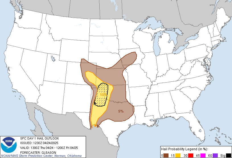
Large hail is possible early in the convective cycle, but damaging
gusts appear to be the main threat as the convection grows upscale
into an eastward-propagating line. A few line-embedded tornadoes are
possible as well, particularly across north-central TX where
low-level shear is maximized on the southern edge of the low-level
jet.
...FL Peninsula...
Widespread showers with isolated embedded thunderstorms are
anticipated across the FL Peninsula today. Buoyancy will remain
fairly modest, and vertical shear is weak, limiting the overall
severe potential. However, ample low-level moisture and relatively
strong low-level westerly flow could support a brief tornado,
particularly via constructive interaction between cells. However,
the overall potential appears too low to introduce any tornado
probabilities with this outlook.
..Mosier/Mosier.. 11/02/2026
Read more CHECK UPDATE ZOOM GRAPHIC
http://dlvr.it/TW8sbT