Day 1 Convective Outlook
NWS Storm Prediction Center Norman OK
1159 PM CST Sun Nov 01 2026
Valid 021200Z - 031200Z
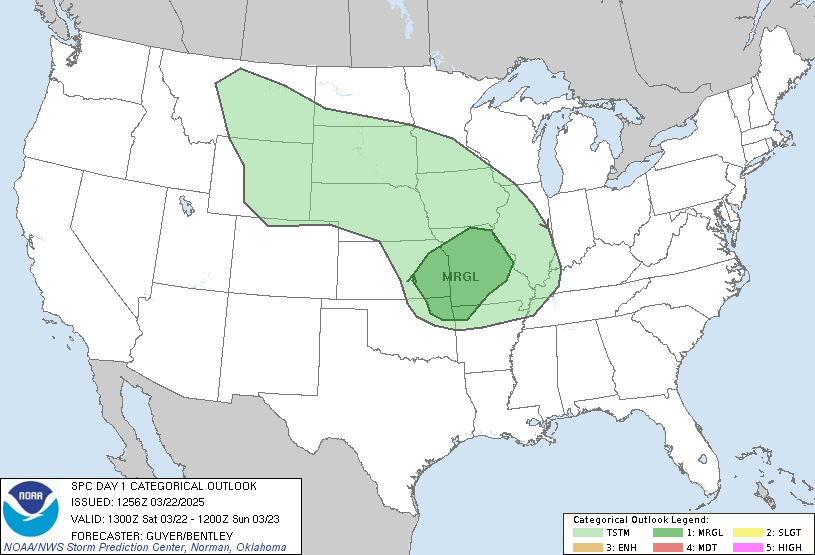
...THERE IS A SLIGHT RISK OF SEVERE THUNDERSTORMS ACROSS PARTS OF
THE SOUTHERN AND CENTRAL PLAINS INTO THE LOWER MISSOURI VALLEY...
...SUMMARY...
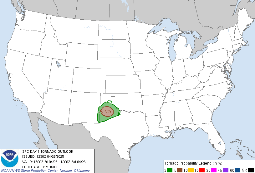
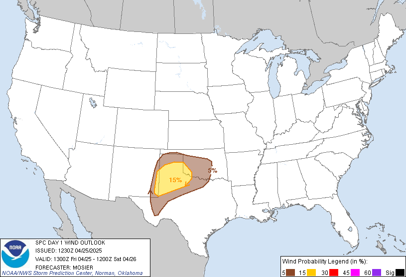
Severe thunderstorms with damaging wind gusts and a few tornadoes
are expected across parts of the southern and central Plains from
this afternoon into tonight.
...Southern and Central Plains/Ozarks/Lower Missouri Valley...
An upper-level trough will move across the southern Rockies today
and into the southern High Plains. Ahead of the system, the exit
region of a mid-level jet will overspread the southern and central
Plains this afternoon and evening. At the surface, a cold front will
advance southeastward across the central High Plains as a
pre-frontal trough moves into the southern and central Plains. Ahead
of this feature, moisture advection will take place with surface
dewpoints gradually increasing into the mid to upper 60s F over much
of Texas, Oklahoma and the eastern half of Kansas. Across the moist
sector, RAP forecast soundings suggest that MLCAPE will only peak in
the 1000 to 1500 J/kg range. As surface temperatures warm and
low-level convergence becomes maximized near the pre-frontal trough
in the afternoon, convective development will take place.
Thunderstorms are expected to gradually increase in coverage from
the afternoon into the early evening, as several line segments
organize and move east-northeastward across the moist sector.
The convective mode is the main question for this event. It seems
possible that the convection will line out quickly during the
afternoon, and that discrete cell formation will be minimized. Even
so, widespread large-scale ascent and strong deep-layer shear will
likely support severe thunderstorm development with vigorous
updrafts associated with organized lines and potentially
semi-discrete supercells. The latest RAP forecast soundings from
central Oklahoma north-northeastward into eastern Kansas suggest
that 0-6 km shear will be around 50 knots. Although some directional
shear is present, the stronger component will be speed increases
with height in the low-levels. Near the axis of the low-level jet,
0-3 km storm-relative helicity is forecast to peak in the 250 to 300
m2/s2 range. This will support a tornado threat with supercells and
with rotating elements embedded in organized line segments. Severe
wind gusts will also be possible with the more intense line
segments, especially with bowing structures. A greater tornado
threat could materialize across Oklahoma or southeast Kansas, if a
cluster of discrete cells can persist into the late afternoon or
early evening. A severe threat will continue throughout the evening
as a larger-scale line segment moves eastward across the moist
sector, reaching western Missouri and far eastern Oklahoma around
midnight. Severe wind gusts and perhaps a QLCS tornado threat will
be possible with this line.
...Texas...
Southwesterly cyclonic mid-level flow will be in place today across
much of Texas, as an upper-level trough approaches. Ahead of the
system, an axis of moderate instability will develop as surface
temperatures warm. A capping inversion will be in place over much of
Texas into afternoon. This cap will likely weaken during the mid
afternoon, allowing for convective initiation over parts of
west-central and northwest Texas. A convective band, with a mixed
mode, is expected to form and move eastward into north-central Texas
by early evening. Ahead of this forecast band by 00Z, surface
dewpoints are expected to peak in the upper 60s F, with MLCAPE
reaching the 2000 to 2500 J/kg range. This will be favorable for
strong updrafts and scattered severe storms. The southeastern edge
of the mid-level jet will create moderate deep-layer shear along the
axis of instability. This will support supercell development with
cells that can remain discrete. Intense line segments are also
expected with cells that congeal. Severe wind gusts and a couple
tornadoes will be possible during the late afternoon and early to
mid evening. The greatest tornado threat should be concentrated in
north-central Texas where low-level shear is maximized on the
southern edge of the low-level jet.
..Broyles/Weinman.. 11/02/2026
Read more CHECK UPDATE ZOOM GRAPHIC
http://dlvr.it/TW8ZfY