Day 1 Convective Outlook
NWS Storm Prediction Center Norman OK
0635 PM CST Sat Nov 14 2026
Valid 150100Z - 151200Z
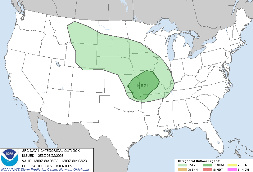
...THERE IS A MARGINAL RISK OF SEVERE THUNDERSTORMS ACROSS PARTS OF
WEST TEXAS...
...SUMMARY...
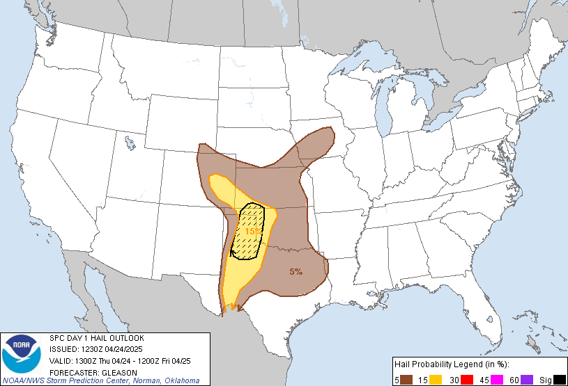
A couple of intensifying storms with potential to produce severe
hail appear possible through late this evening in a corridor across
West Texas, near and south/southeast of Lubbock toward the Abilene
vicinity.
...01Z Update...
Cold surface ridging remains entrenched across most areas east of
the Rockies, with the near-surface frontal zone on its southwestern
flank quasi-stationary across southern portions of the middle Texas
coastal plain and Hill Country through Texas South Plains vicinity.
There is still a corridor of mid 50s+ F surface dew points advecting
north of the Permian Basin into South Plains, toward the Lubbock
vicinity, ahead of a weak south-southeastward migrating frontal
wave. As stronger mid-level cooling and forcing for ascent, within
the left-exit region of a broadly cyclonic 70+ kt 500 mb jet streak,
overspreads areas south/southeast of Lubbock toward Abilene through
03-06Z, there still appears potential for destabilization supportive
of intensifying thunderstorm development. This probably will be
rooted within lower/mid-tropospheric warm advection, above a
generally stable surface-based air mass, but, given cool
thermodynamic profiles and favorable shear, there appears a window
of opportunity for the evolution of a supercell structure or two
with potential to produce severe hail.
..Kerr.. 11/15/2026
Read more CHECK UPDATE ZOOM GRAPHIC
http://dlvr.it/TWL24s