Day 1 Convective Outlook
NWS Storm Prediction Center Norman OK
0658 AM CST Sat Nov 14 2026
Valid 141300Z - 151200Z
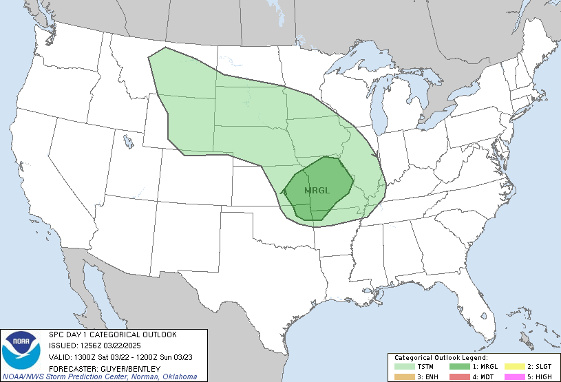
...NO SEVERE THUNDERSTORM AREAS FORECAST...
...SUMMARY...
Organized severe thunderstorms are unlikely across the U.S. today
and tonight.
...Eastern New Mexico and Texas...
A low-latitude shortwave trough extending across the Four Corners
area into northwest Mexico will continue eastward, reaching the
southern High Plains tonight. Preceding it, a relatively moist air
mass by mid-November standards will exist across the Texas coastal
Plain, and to a lesser extent, west-northwestward in vicinity of a
front into the Texas South Plains and far eastern New Mexico.
Multi-layer cloud cover and some precipitation will be prevalent
especially early today, but some late-day clearing is expected
across eastern New Mexico toward the Texas South Plains and Permian
Basin as the upper trough approaches the region. Low-topped
thunderstorm development/intensification is expected by mid/late
afternoon from eastern New Mexico into far west Texas. Cool thermal
profiles aloft, diurnally maximized lapse rates, and relatively long
hodographs could support some hail potential and/or gusty
thunderstorm winds, particularly should a more-optimistic, albeit
weak overall, destabilization scenario materialize. Areas including
far east-central New Mexico and the Texas South Plains/Low Rolling
Plains will be re-evaluated today for consideration of severe
probabilities.
Some stronger storms could sustain tonight, perhaps mainly on the
south end of a semi-organized cluster/band of storms, into parts of
the Texas Low Rolling Plains and Edwards Plateau. A low-level jet
will also be strengthening tonight and will enlarge low-level
hodographs across west-central/central Texas, but current thinking
is the cool nature of the boundary layer and limited buoyancy will
limit severe thunderstorm potential.
..Guyer/Mead.. 11/14/2026
Read more CHECK UPDATE ZOOM GRAPHIC
http://dlvr.it/TWKmlS