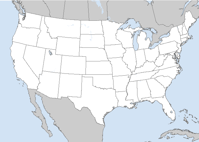
LIVE MAP (ABOVE) ... Day 4-8 Outlook
Day 4-8 Convective Outlook
NWS Storm Prediction Center Norman OK
0355 AM CDT Sun Jun 25 2023
Valid 281200Z - 031200Z
...DISCUSSION...
...Wednesday/Day 4 and Thursday/Day 5...
An upper-level trough is forecast to move eastward from the northern
Plains into the upper Mississippi Valley on Wednesday, reaching the
Great Lakes on Thursday. Ahead of the system, a moist airmass is
forecast from the northern Plains into the mid to upper Mississippi
Valley. On Wednesday, the models suggest that a severe threat will
be possible ahead of the upper-level trough in the upper Mississippi
Valley. Model consensus places the greatest convective coverage in
Minnesota, near the northern edge of the stronger instability.
Isolated severe storms would also be possible further south into
parts of the mid Missouri Valley. However, the short-wave trough is
forecast to be subtle, and at the northern edge of an anticyclone.
This introduces considerable uncertainty. The potential for severe
is forecast to shift eastward on Thursday, but could be more
isolated as the shortwave trough outruns the instability axis. If
another shortwave trough can develop and move into the northern
Plains, an additional severe threat area would be possible. However,
predictability is too low to add a threat area on either Wednesday
or Thursday.
...Friday/Day 6 to Sunday/Day 8...
An anticyclone in the central U.S. is forecast to gradually
breakdown over the weekend, as an upper-level trough develops in the
north-central U.S. A moist airmass should remain over the Ohio and
Tennessee Valleys, where scattered thunderstorms are expected Friday
afternoon and evening. A severe threat will be possible at the
northern edge of the moist airmass in parts of the Ohio Valley in
the afternoon. The potential for severe storms could continue across
the same general area on Saturday, as a shortwave trough moves
across the region. On Sunday, scattered thunderstorms will again be
possible in many areas from the Mississippi Valley eastward across
the Ohio and Tennessee Valleys. At this point, confidence is low
regarding any potential scenarios over the weekend.
Read more CHECK UPDATE ZOOM GRAPHIC
http://dlvr.it/SrCKXw
Windy.com Temps | Gusts | WU KORD KPWK |
CLICK for this month's BIG night sky ... | RADAR FULL MAP SCREEN |
|---|
MOBILE DEVICE? Turn sideways. Weather conditions directly above are near Lakefront. Top tabs refer to O'Hare (official).
Archives for the SPC Convective Outlook are updated daily (approximately) with a live map at the beginning of each article. Follow the link at the end of the article to check for current updates on the NOAA/NWS Storm Prediction Center website. Also, see Archives for Chicago's hourly weather data on CARDINAL NEWS Magazine.
CONVECTIVE | TORNADO | WIND | HAIL
O'Hare International Airport KORD
(Arlington Heights South)
Chicago Executive Airport KPWK
(Arlington Heights North)
Sunday, June 25, 2023
SPC Jun 25, 2023 Day 4-8 Severe Weather Outlook
SUNRISE AND SUNSET TIMES IN UTC (if you're not logged in to Google)
CHICAGO UTC-6 during CST (Central Standard Time, e.g., winter)
CHICAGO UTC-5 during CDT (Daylight Savings Time, e.g., summer)
CHICAGO UTC-6 during CST (Central Standard Time, e.g., winter)
CHICAGO UTC-5 during CDT (Daylight Savings Time, e.g., summer)


