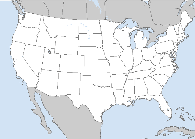
LIVE MAP (ABOVE) ... SPC 0600Z Day 2 Outlook
Day 2 Convective Outlook
NWS Storm Prediction Center Norman OK
0100 AM CDT Sun Jun 18 2023
Valid 191200Z - 201200Z
...THERE IS A SLIGHT RISK OF SEVERE THUNDERSTORMS ACROSS PORTIONS OF
THE CENTRAL GULF COAST INTO SOUTHWEST GEORGIA...
...SUMMARY...
Severe thunderstorms, capable mainly of damaging gusts, are possible
across the central Gulf Coast into southwest Georgia on Monday.
Additional isolated strong to severe thunderstorms also are possible
across much of the rest of Georgia into eastern Tennessee and parts
of the Carolinas, and over central Texas.
...Central Gulf Coast into the Carolinas...
An upper low and attendant trough will persist over the Ohio Valley
to the Gulf Coast on Monday. Deep-layer flow will be somewhat weaker
across the Gulf Coast states compared to the past week or so, but 40
kt of west/southwest flow between 700-500 mb atop light southerly
low-level will support modest vertical shear to around 25-30 kt. A
weak surface low located over western/central KY will not move much
through the period, though as attendant surface boundary will sag
southward across parts of the lower MS Valley and central MS/AL.
Ahead of this boundary, dewpoints in the 70s will be common, aiding
in a swath of moderate to strong destabilization across region. A
cluster of strong to severe thunderstorms may be ongoing Monday
morning across pars of central AL into west-central GA. This
activity will spread southeast into a strongly unstable airmass, and
may increase in intensity as the boundary layer destabilizes with
daytime heating. Severe/damaging gusts will be the main hazard
associated with this activity, and a Slight risk (level 2 of 5) has
been introduced. There is some uncertainty regarding westward extent
of severe potential. Some guidance suggests convection may build
westward along the weak surface boundary. However, capping also will
be stronger to the west and large-scale ascent weaker. Depending on
trends, some modification to the western extent of the Slight risk
may be needed in subsequent outlooks.
As waves of large-scale ascent pivot around the upper low,
additional bands of thunderstorms are expected further north and
east across eastern TN into the Carolinas. Instability will be
weaker with northward extent further from steeper midlevel lapse
rates. However, stronger ascent, steep low-level lapse rates, and
high PWs may support sporadic strong gusts. Additional clusters of
strong storms may develop along sea-breeze boundaries across the FL
Peninsula. Water-loaded downdrafts may pose a risk for strong gusts
here as well.
...Central TX...
A somewhat conditional risk of isolated severe storms is anticipated
late Monday afternoon/early evening. A very moist airmass will
reside to the east of a dryline, and beneath very steep midlevel
lapse rates. Increasing northwesterly deep-layer flow will produce
effective shear magnitudes greater than 40 kt with forecast
soundings depicting elongated hodographs. Temperatures are expected
to be hot, near/above 100 degrees along the dryline. Accounting for
entrainment/dry midlevels, a strongly unstable airmass will still
reside over the area. If a cell or two can develop and become
sustained, strong/severe outflow winds and large hail would be
possible.
..Leitman.. 06/18/2023
Read more CHECK UPDATE ZOOM GRAPHIC
http://dlvr.it/SqrWr4


