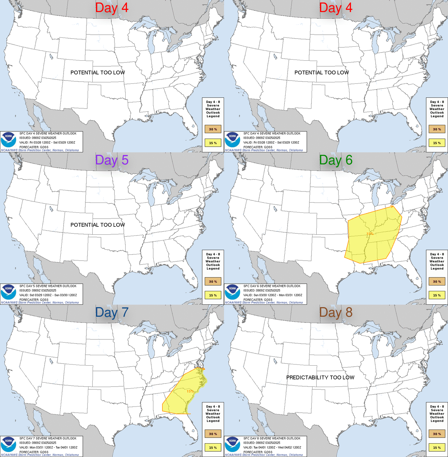
LIVE MAP (ABOVE) ... Day 4-8 Outlook
Day 4-8 Convective Outlook
NWS Storm Prediction Center Norman OK
0400 AM CDT Thu Apr 20 2023
Valid 231200Z - 281200Z
...DISCUSSION...
...Sunday/Day 4 to Monday/Day 5...
A moist airmass will likely remain over south-central Texas on
Sunday, possibly advecting northwestward into west-central Texas on
Monday. At upper-levels, a trough is forecast to move through the
Desert Southwest early in the week. As surface temperatures warm
each day, isolated thunderstorm development will be possible in the
afternoon and evening. Although instability is forecast to remain
relatively weak across most of the southern Plains, mid-level flow
may be strong enough for an isolated severe threat. The greatest
potential would be in south-central and west-central Texas, along
the northern edge of the moist airmass.
...Tuesday/Day 6...
On Tuesday, a lead shortwave trough ahead of the upper-level system,
is forecast to move eastward into the southern High Plains.
Low-level moisture is forecast to advect northward into much of the
southern High Plains. It appears that moderate instability could
develop across much of the moist sector as surface temperatures warm
during the day. Moderate deep-layer shear combined with the
instability should be favorable for severe storms. Some solutions
suggest that a dryline will setup by afternoon across west-central
Texas. Thunderstorms would likely form to the east of the dryline
and move eastward across the southern Plains. Under that scenario,
the greatest severe threat would be in parts of central and north
Texas. Large hail and wind damage would be possible, especially if
supercells can develop.
...Wednesday/Day 7 and Thursday/Day 8...
An upper-level low is forecast to move across the Four Corners
region on Wednesday, opening up into a trough over the southern
Plains on Thursday. Isolated to scattered thunderstorms will be
possible across the moist sector each day as surface temperatures
warm. Although a severe threat may develop in areas that become
sufficiently unstable, uncertainty is substantial concerning the
location of the moist sector. A threat area could be added to either
Wednesday or Thursday once this becomes more clear.
Read more CHECK UPDATE ZOOM GRAPHIC
http://dlvr.it/Smnr5S
Windy.com Temps | Gusts | WU KORD KPWK |
CLICK for this month's BIG night sky ... | RADAR FULL MAP SCREEN |
|---|
MOBILE DEVICE? Turn sideways. Weather conditions directly above are near Lakefront. Top tabs refer to O'Hare (official).
Archives for the SPC Convective Outlook are updated daily (approximately) with a live map at the beginning of each article. Follow the link at the end of the article to check for current updates on the NOAA/NWS Storm Prediction Center website. Also, see Archives for Chicago's hourly weather data on CARDINAL NEWS Magazine.
CONVECTIVE | TORNADO | WIND | HAIL
O'Hare International Airport KORD
(Arlington Heights South)
Chicago Executive Airport KPWK
(Arlington Heights North)
Thursday, April 20, 2023
SPC Apr 20, 2023 Day 4-8 Severe Weather Outlook
SUNRISE AND SUNSET TIMES IN UTC (if you're not logged in to Google)
CHICAGO UTC-6 during CST (Central Standard Time, e.g., winter)
CHICAGO UTC-5 during CDT (Daylight Savings Time, e.g., summer)
CHICAGO UTC-6 during CST (Central Standard Time, e.g., winter)
CHICAGO UTC-5 during CDT (Daylight Savings Time, e.g., summer)


