Windy.com Temps | Gusts | WU KORD KPWK

CLICK for this month's BIG night sky ...

RADAR FULL MAP SCREEN

NEXRAD

STORMTRACK

Cardinal SAT

CHGOWX.COM


MOBILE DEVICE? Turn sideways. Weather conditions directly above are near Lakefront. Top tabs refer to O'Hare (official).

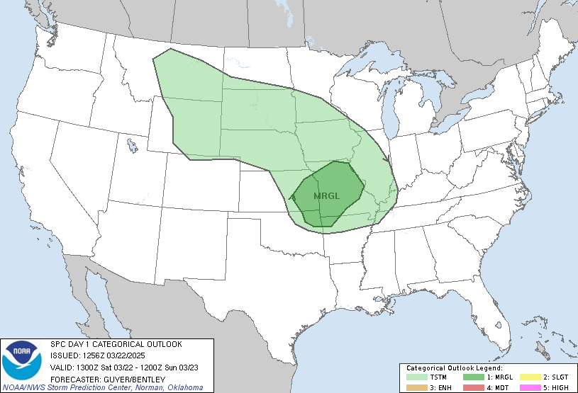
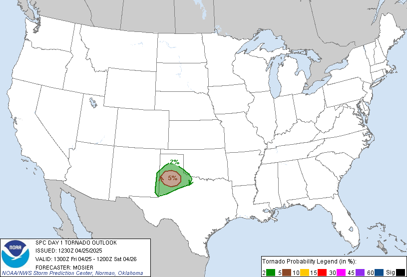
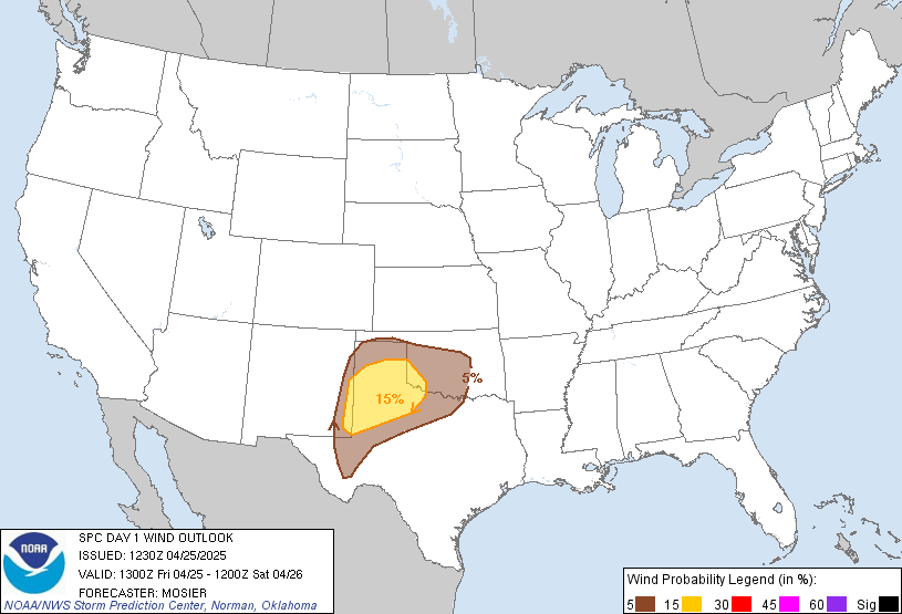
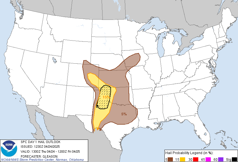
Archives for the SPC Convective Outlook are updated daily (approximately) with a live map at the beginning of each article. Follow the link at the end of the article to check for current updates on the NOAA/NWS Storm Prediction Center website. Also, see Archives for Chicago's hourly weather data on CARDINAL NEWS Magazine.

ARLINGTON HEIGHTS WEATHER
O'Hare International Airport KORD (Arlington Heights South)
Chicago Executive Airport KPWK (Arlington Heights North)

Thursday, November 19, 2026

SPC Nov 19, 2026 1630 UTC Day 1 Convective Outlook

LIVE MAP (ABOVE) ... SPC 1630Z Day 1 Outlook


Day 1 Convective Outlook
NWS Storm Prediction Center Norman OK
1026 AM CST Thu Nov 19 2026

Valid 191630Z - 201200Z

...THERE IS A MARGINAL RISK OF SEVERE THUNDERSTORMS ACROSS PARTS OF
CENTRAL CALIFORNIA...

...SUMMARY...
Isolated thunderstorms capable of producing occasional severe gusts,
small hail, and perhaps a brief tornado are possible today across
parts of central California, focused mainly over portions of the San
Joaquin Valley.

...Central/Southern California...
A band of low-topped showers moving into the LA Basin this morning
is being aided by large-scale ascent associated with a highly
amplified upper trough over the West Coast, and strong mid-level jet
extending over much of central/southern CA into the Great Basin. The
latest VWP from KSOX shows veering/strengthening winds with height
through mid levels and sufficient shear for updraft organization.
However, minimal MUCAPE noted on the 12Z VBG sounding and recent RAP
forecast soundings across coastal southern CA should tend to limit
the threat for severe gusts associated with convection. That said,
strong/gusty gradient/non-convective winds will remain possible
today, as enhanced mid-level west-southwesterly flow attendant to
the upper trough persists over southern CA.

Cold temperatures aloft (around -24 to -28 C at 500 mb) will
overspread central CA through the afternoon as the upper trough and
mid-level jet move slowly inland in tandem with a surface front.
Although widespread cloudiness remains prevalent across the Central
Valley this morning per recent visible satellite imagery, there is
some potential for weak destabilization as filtered daytime heating
occurs. Greater low-level shear will be present this morning, with a
tendency for flow to gradually veer to westerly with time through
the afternoon. Still, any isolated thunderstorms that can develop
along/ahead of the front could pose a threat for small hail and
strong to locally severe gusts, mainly focused across parts of the
San Joaquin Valley. The tornado potential appears highly conditional
on a low-topped supercell developing and persisting even as
low-level shear slowly weakens through the day.

..Gleason/Halbert-E.. 11/19/2026


Read more CHECK UPDATE ZOOM GRAPHIC


http://dlvr.it/TWPPYK

SPC Nov 19, 2026 1300 UTC Day 1 Convective Outlook

LIVE MAP (ABOVE) ... SPC 1300Z Day 1 Outlook


Day 1 Convective Outlook
NWS Storm Prediction Center Norman OK
0656 AM CST Thu Nov 19 2026

Valid 191300Z - 201200Z

...THERE IS A MARGINAL RISK OF SEVERE THUNDERSTORMS ACROSS CENTRAL
CALIFORNIA...

...SUMMARY...
Isolated thunderstorms capable of severe wind gusts, small hail,
and/or a brief tornado are possible today in central California
including coastal areas to the San Joaquin Valley.

...Central California...
A prominent upper trough centered over western Oregon and northern
California this morning will shift eastward, with the primary vort
max/base of the trough shifting east-northeastward from near the San
Francisco Bay Area to the Great Basin tonight. An associated front
will progress inland today, with isolated/episodic low-topped
thunderstorms possible in a thermodynamic environment characterized
by relatively steep lapse rates but minimal buoyancy, such as
sampled by the 12z observed sounding from Oakland.

In a relative sense, buoyancy will tend to remain maximized in
coastal areas, although weak destabilization should spread inland
including the interior valley by afternoon. Small hail and gusty
winds may occur, and a brief tornado is possible, primarily before a
more westerly low-level wind component becomes prevalent into the
afternoon.

..Guyer/Mead.. 11/19/2026


Read more CHECK UPDATE ZOOM GRAPHIC


http://dlvr.it/TWP9dP

SPC Nov 19, 2026 0600 UTC Day 1 Convective Outlook

LIVE MAP (ABOVE) ... SPC 1200Z Day 1 Outlook


Day 1 Convective Outlook
NWS Storm Prediction Center Norman OK
1147 PM CST Wed Nov 18 2026

Valid 191200Z - 201200Z

...THERE IS A MARGINAL RISK OF SEVERE THUNDERSTORMS ACROSS PARTS OF
CENTRAL CALIFORNIA...

...SUMMARY...
Thunderstorms with isolated severe wind gusts and perhaps a brief
tornado are possible today in central California, from the San
Joaquin Valley westward to near San Francisco.

...Central California...
An upper-level low will move eastward today across the southwestern
part of the Pacific Northwest. The associated trough will move
across central and northern California. At the surface, a low will
move into the Sierra Nevada as a cold front advances southward
across northern California. Weak instability will develop ahead of
the front over much of central California, where SBCAPE is expected
to peak near 500 J/kg this afternoon. As a band of strong
large-ascent associated with the trough moves through central
California, scattered thunderstorm development will become likely.
RAP forecast soundings at 21Z ahead of this band of ascent have 0-6
km shear in the 30 to 40 knot range with 700-500 mb lapse rates
around 7.5 C/km. This environment along with the instability will
support an isolated severe threat during the afternoon. A few severe
wind gusts will be possible, along with potential for a brief
tornado.

..Broyles/Chalmers.. 11/19/2026


Read more CHECK UPDATE ZOOM GRAPHIC


http://dlvr.it/TWNwyb

Wednesday, November 18, 2026

SPC Nov 19, 2026 0100 UTC Day 1 Convective Outlook

LIVE MAP (ABOVE) ... SPC 0100Z Day 1 Outlook


Day 1 Convective Outlook
NWS Storm Prediction Center Norman OK
0658 PM CST Wed Nov 18 2026

Valid 190100Z - 191200Z

...NO SEVERE THUNDERSTORM AREAS FORECAST...

...SUMMARY...
Severe thunderstorms are not forecast across the contiguous U.S.
through tonight.

...DISCUSSION...
The latest water vapor imagery shows a mid-level trough over the
central U.S., with an upper-level low located over the far northeast
Gulf. Scattered thunderstorms will be possible tonight to the
southeast of the low within a moist airmass over the Florida
Peninsula. In the western U.S., a trough is located offshore from
California. As the trough approaches the California coast tonight,
isolated to scattered thunderstorms will be possible over parts of
central and northern California. Elsewhere, thunderstorms are not
forecast across the continental U.S. through tonight.

..Broyles.. 11/19/2026


Read more CHECK UPDATE ZOOM GRAPHIC


http://dlvr.it/TWNlcR
SUNRISE AND SUNSET TIMES IN UTC (if you're not logged in to Google)
CHICAGO UTC-6 during CST (Central Standard Time, e.g., winter)
CHICAGO UTC-5 during CDT (Daylight Savings Time, e.g., summer)