Day 1 Convective Outlook
NWS Storm Prediction Center Norman OK
1147 PM CST Wed Nov 18 2026
Valid 191200Z - 201200Z
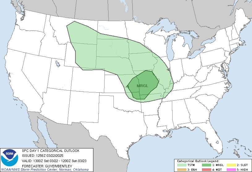
...THERE IS A MARGINAL RISK OF SEVERE THUNDERSTORMS ACROSS PARTS OF
CENTRAL CALIFORNIA...
...SUMMARY...
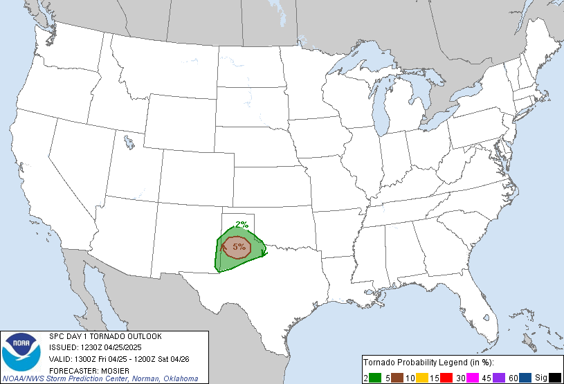
Thunderstorms with isolated severe wind gusts and perhaps a brief
tornado are possible today in central California, from the San
Joaquin Valley westward to near San Francisco.
...Central California...
An upper-level low will move eastward today across the southwestern
part of the Pacific Northwest. The associated trough will move
across central and northern California. At the surface, a low will
move into the Sierra Nevada as a cold front advances southward
across northern California. Weak instability will develop ahead of
the front over much of central California, where SBCAPE is expected
to peak near 500 J/kg this afternoon. As a band of strong
large-ascent associated with the trough moves through central
California, scattered thunderstorm development will become likely.
RAP forecast soundings at 21Z ahead of this band of ascent have 0-6
km shear in the 30 to 40 knot range with 700-500 mb lapse rates
around 7.5 C/km. This environment along with the instability will
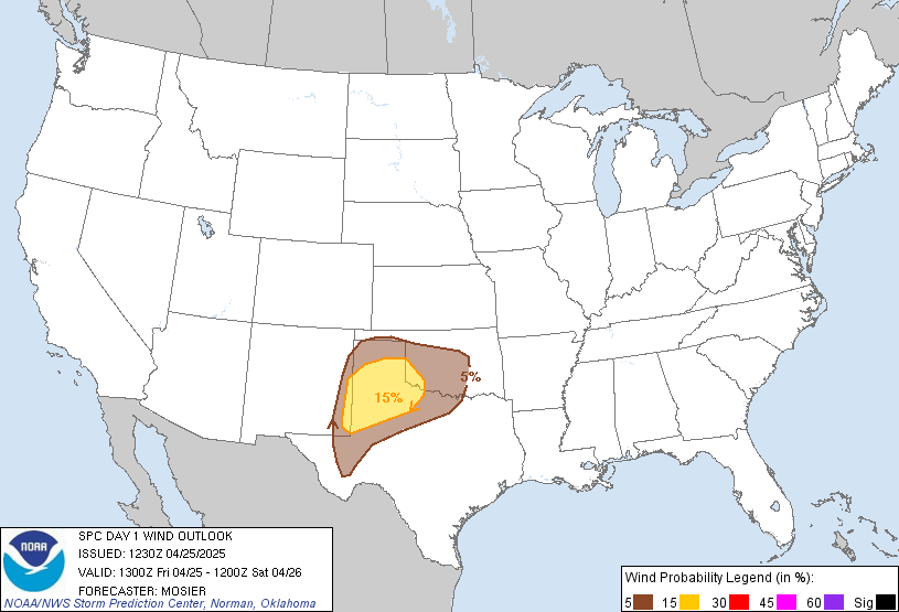
support an isolated severe threat during the afternoon. A few severe
wind gusts will be possible, along with potential for a brief
tornado.
..Broyles/Chalmers.. 11/19/2026
Read more CHECK UPDATE ZOOM GRAPHIC
http://dlvr.it/TWNwyb