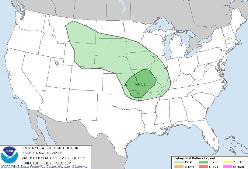
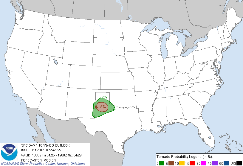
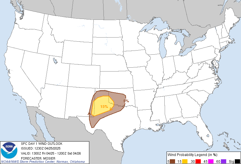
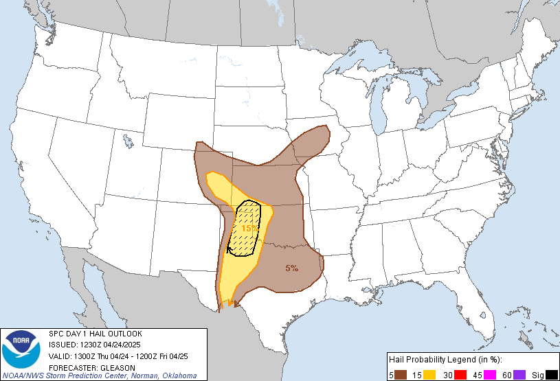
Day 1 Convective Outlook
NWS Storm Prediction Center Norman OK
1159 PM CST Fri Nov 06 2026
Valid 071200Z - 081200Z
...NO SEVERE THUNDERSTORM AREAS FORECAST...
...SUMMARY...
Severe thunderstorms are not forecast across the U.S. today and
tonight.
...Synopsis...
An upper cyclone and attendant trough will pivot east/northeast
across the Mid-Atlantic and Northeast states today. In the wake of
the trough, a surface low will deepen off the coast of New England.
A strong surface cold front will move offshore with the low into the
Atlantic and Gulf waters early this morning. Isolated elevated
thunderstorms may occur with warm air advection ahead of the upper
cyclone across New England, though severe storms are not expected.
Along southern portions of the front near the Gulf Coast, additional
showers and thunderstorms are expected across portions of
southern/central TX. An upper cyclone moving out of northern MX will
bolster isentropic ascent behind the southward moving front
supporting scattered elevated thunderstorms. Instability will remain
meager and not supportive of severe storms.
Elsewhere, surface high pressure and offshore flow will favor dry
and stable conditions over the majority of the CONUS. The only
exception may be across the Olympic Peninsula where shallow
convection ahead of another upper trough may allow for a few
lightning strikes overnight.
..Lyons/Halbert-K.. 11/07/2026
Read more CHECK UPDATE ZOOM GRAPHIC
http://dlvr.it/TWDlDy