Day 1 Convective Outlook
NWS Storm Prediction Center Norman OK
0144 PM CST Fri Nov 06 2026
Valid 062000Z - 071200Z
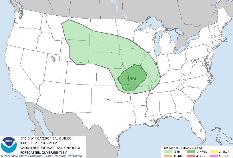
...THERE IS A SLIGHT RISK OF SEVERE THUNDERSTORMS ...
...SUMMARY...
Isolated strong to severe thunderstorms may occur today across parts
of the central/eastern Carolinas and coastal southern Mid-Atlantic.
...20z Update...
Only minor adjustments were made to clear behind ongoing convection.
See previous discussion below for more information.
..Halbert-E.. 11/06/2026
.PREV DISCUSSION... /ISSUED 0956 AM CST Fri Nov 06 2026/
...Eastern NC...
An upper low over lower MI and an associated upper trough extending
southward through the OH/TN valleys will track eastward today,
providing large-scale forcing for ascent across much of the eastern
states. A cluster of thunderstorms that began several hours ago in
northern SC is progressing northeastward across central NC. Cloud
cover ahead of this activity is limiting daytime
heating/destabilization. However, dewpoints near 70F and cooling
aloft will likely lead to a narrow corridor of MUCAPE values of
around 1500 J/kg this afternoon. CAM guidance is in agreement that
there will be a period of vigorous convection over eastern NC in the
19-23z time period. Low-level winds are somewhat veered and not
particularly strong. However, stronger winds aloft and the
approaching upper trough may result in sufficient organization for a
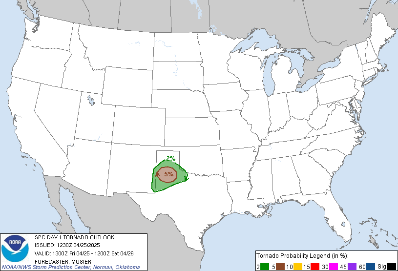
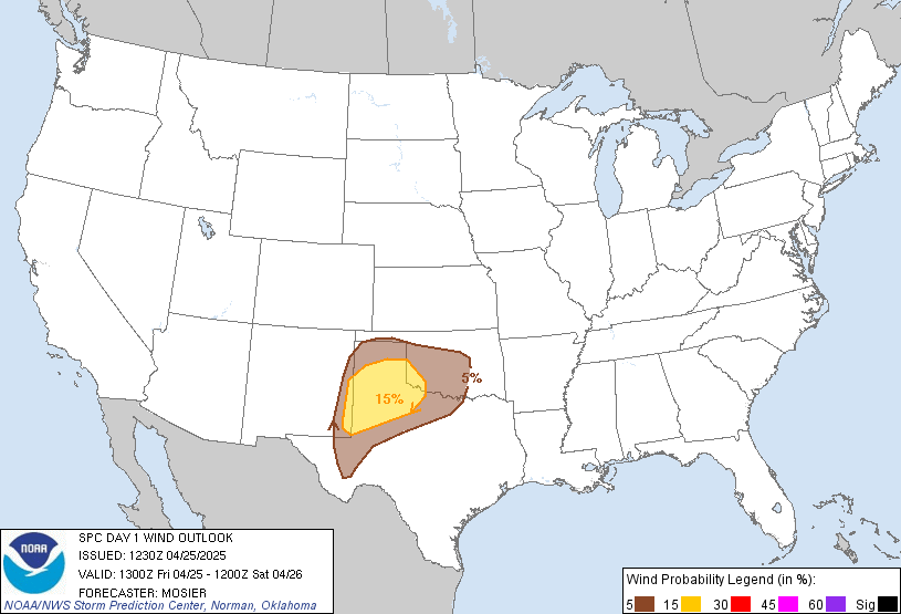
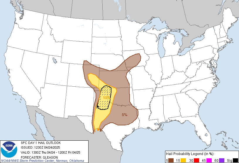
few bowing structures capable damaging wind gusts and some hail. A
small SLGT risk has been added to address this focused risk area.
...Southeast AZ...
A strong thunderstorm or two may occur this afternoon over extreme
southeast AZ, in a steep lapse-rate and marginally unstable
environment. While hail will be possible in the strongest cores,
the threat appears too minimal for severe probabilities at this
time.
Read more CHECK UPDATE ZOOM GRAPHIC
http://dlvr.it/TWDVkF