Day 1 Convective Outlook
NWS Storm Prediction Center Norman OK
1134 PM CST Mon Nov 02 2026
Valid 031200Z - 041200Z
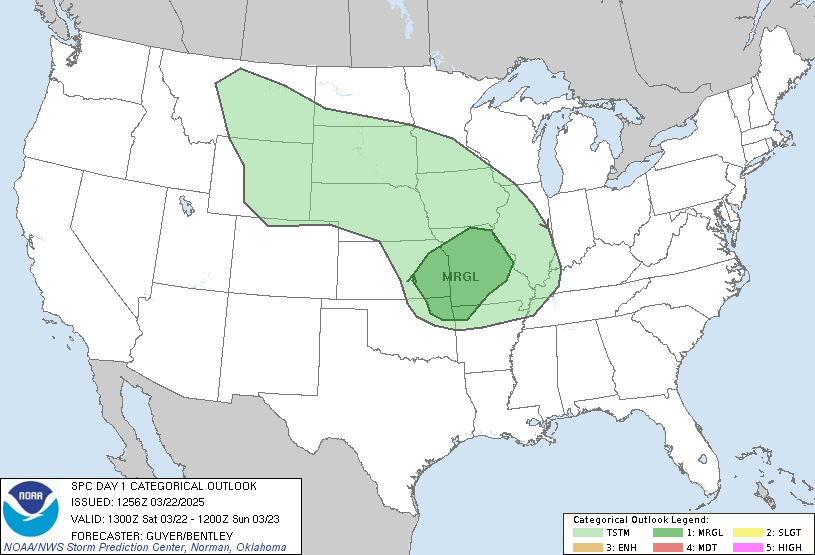
...THERE IS A MARGINAL RISK OF SEVERE THUNDERSTORMS ACROSS PARTS OF
THE SABINE RIVER VALLEY INTO THE LOWER TO MID MISSISSIPPI VALLEY...
...SUMMARY...
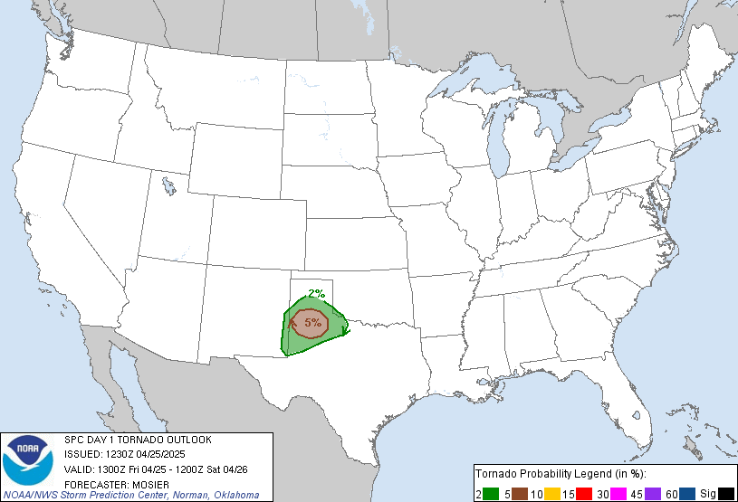
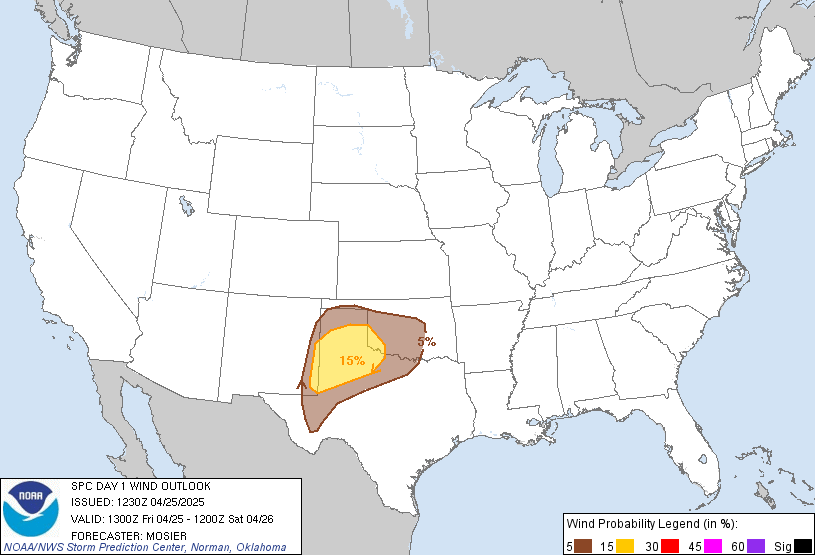
Thunderstorms with potential for isolated severe wind gusts and
perhaps a brief tornado or two will be possible today from the
Sabine and Lower Mississippi Valleys northward into the Mid
Mississippi Valley.
...Sabine River Valley/Lower to Mid Mississippi Valley...
An upper-level trough will move across the Great Plains today, as
cyclonic south-southwesterly flow precedes the system over the lower
to mid Mississippi Valley. Ahead of the system, a north-to-south
corridor of low-level moisture will be in place along and ahead of a
pre-frontal trough. Near the moist axis, a long broken line of
thunderstorms will be ongoing at the start of the period from
western Missouri southward into western Arkansas and east Texas.
This line will progress eastward into the lower to mid Mississippi
Valley during the day. As it does so, surface temperatures will warm
ahead of the line allowing for weak destabilization. Any potential
for moderate instability will be minimized by abundant cloud cover.
Over the top of this airmass, moderate to strong deep-layer shear
will be present, which will support an isolated severe threat during
the afternoon and evening. Line segments that can become
semi-organized will have potential for isolated severe wind gusts.
In addition, a marginal tornado threat will be possible with any
QLCS structures. The severe threat will be minimized by poor lapse
rates. The threat could persist into the late evening or even into
the overnight period as the line moves eastward across the lower to
mid Mississippi Valley, toward a strengthening low-level jet.
..Broyles/Weinman.. 11/03/2026
Read more CHECK UPDATE ZOOM GRAPHIC
http://dlvr.it/TW9Q8m