Day 1 Convective Outlook
NWS Storm Prediction Center Norman OK
0710 AM CST Sat Nov 21 2026
Valid 211300Z - 221200Z
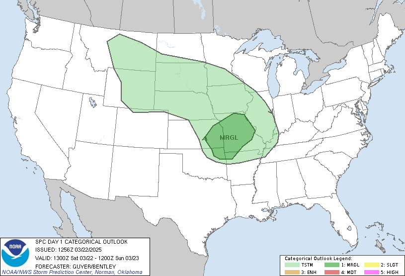
...THERE IS A MARGINAL RISK OF SEVERE THUNDERSTORMS ACROSS THE
SOUTH-CENTRAL PLAINS AND SOUTH FLORIDA...
...SUMMARY...
Isolated strong to severe storms are possible from western Oklahoma
into south-central Kansas this afternoon and evening, as well as
across south Florida today.
...Central/Southern Plains...
Warm-air advection showers and isolated thunderstorms will precede
the cold front during the afternoon beginning in northwest Texas and
the eastern Texas Panhandle, before expanding northeastward across
western/central Oklahoma into central/eastern Kansas. Strong
southerly low-level flow is expected throughout the day and
dewpoints will likely be in the mid 50s F. This moisture should
support weak elevated buoyancy, but cool surface temperatures will
tend to limit surface-based buoyancy. In general, limited buoyancy
should temper the severe potential with these storms.
Additional thunderstorms are expected along the cold front into this
evening and overnight. Continued low-level moisture advection will
likely bring dewpoints into the upper 50s F, but temperatures will
remain relatively cool (i.e. in the upper 50s/low 60s), with
surface-based convective inhibition persisting. Even so, cooling
mid-level temperatures could still result in modest buoyancy from
western Oklahoma into south-central Kansas. Strong vertical shear
will also be in place, with the resulting combination of buoyancy
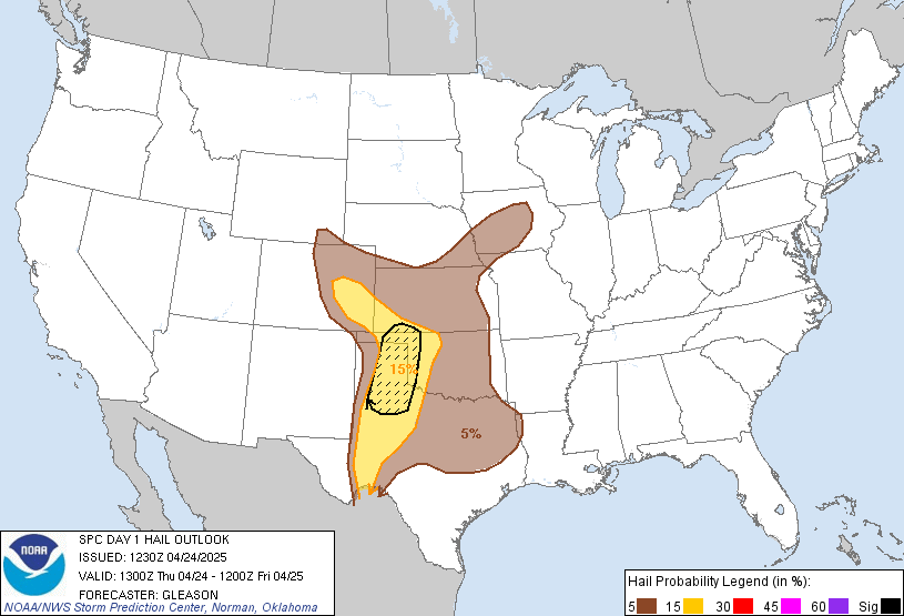
and shear supporting the potential for a few storms capable of hail.
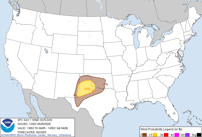
Additionally, a few strong wind gusts could still reach the surface
with any bowing segments along the front.
...South Florida and coastal Georgia/Carolinas...
Multifaceted areas of low pressure will influence the region,
including near coastal portions of Georgia and South Carolina. A
semi-organized arcing band of near-coastal convection will probably
persist today. There has been some evidence of weak/transient
circulations offshore amidst relatively strong low-level easterly
winds. Current thinking is that this activity will tend to remain
focused/most organized offshore, with limited destabilization
inland.
Near/ahead of another low, a cluster of storms continues to approach
and move across the southern Florida Peninsula and near/north of the
Keys, with somewhat stronger and more organized storms on the
southern flank of the broader convection. Regional WSR-88D VWP data
from Key West and Miami is sampling some stronger mid-level flow
which may regionally persist in this afternoon. Such could
potentially support a few organized/rotating storms within a moist
environment, although low-level winds/SRH will remain somewhat
modest overall. A couple of locally severe storms could occur,
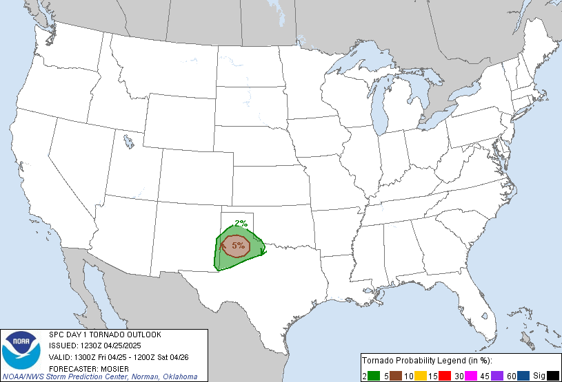
potentially including a brief tornado and/or wind damage.
..Guyer/Kerr.. 11/21/2026
Read more CHECK UPDATE ZOOM GRAPHIC
http://dlvr.it/TWQVG6