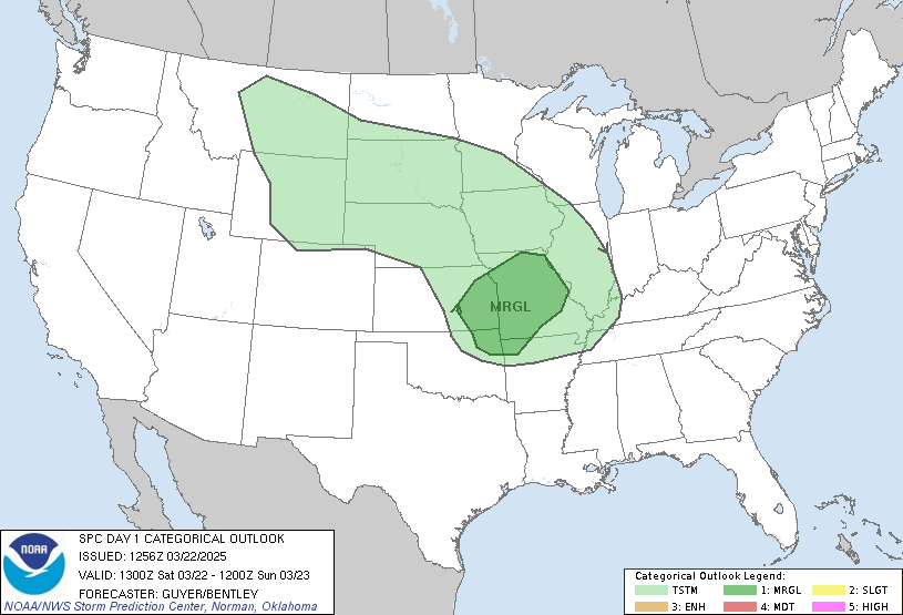
Day 1 Convective Outlook
NWS Storm Prediction Center Norman OK
0650 AM CST Wed Nov 18 2026
Valid 181300Z - 191200Z
...NO SEVERE THUNDERSTORM AREAS FORECAST...
...SUMMARY...
Organized severe thunderstorms are not forecast across the U.S.
today or tonight.
...Southern Florida/Florida Keys...
A MCV-aided convective complex will continue to slowly drift
south-southeastward early today. This should trend away from the
Keys and far southern Peninsula, but some semi-organized
storms/transient circulations may persist nearby for a time. The Key
West WSR-88D VWP reflects rather strong easterly winds through the
lowest 2-3 km AGL, and this is in the presence of a very moist air
mass and offshore-focused baroclinic zone. While a waterspout and/or
a couple of strong storms could occur near land/coastal areas, a
probable continued offshore drift and weak mid-level flow should
preclude an organized/sustained severe potential.
...West Coast...
An upper trough centered off the coastal Pacific Northwest and
northern California will continue to approach the coast through
tonight, with an inland-moving frontal band, and a strong
cyclonically curved jet aloft developing over California toward the
Great Basin. A post-frontal (and diurnal) steepening of lapse rates
will support isolated thunderstorm potential initially focused near
coastal northern California today, expanding a bit more to include
central/interior California tonight.
..Guyer/Mead.. 11/18/2026
Read more CHECK UPDATE ZOOM GRAPHIC
http://dlvr.it/TWNLSp