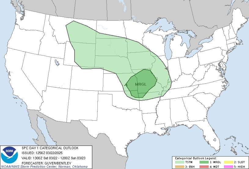
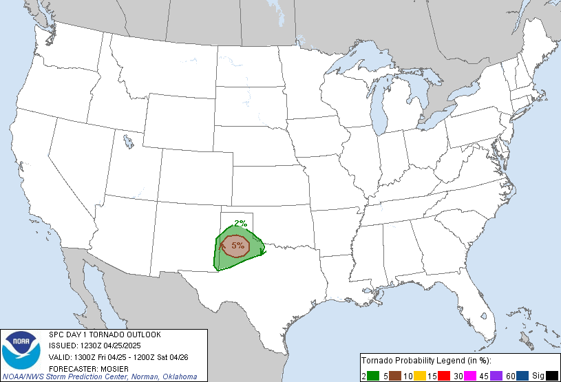
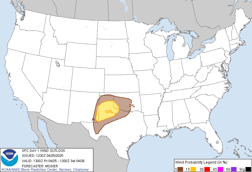
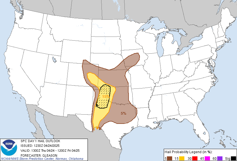
Day 1 Convective Outlook
NWS Storm Prediction Center Norman OK
1025 AM CST Tue Nov 17 2026
Valid 171630Z - 181200Z
...NO SEVERE THUNDERSTORM AREAS FORECAST...
...SUMMARY...
Organized severe thunderstorms are not forecast across the
contiguous U.S. through tonight, although occasional strong/gusty
winds may occur with convection across parts of coastal northern
California, the Great Basin/Intermountain West, and south Florida.
...Coastal Northern California...
A low-topped convective line will approach and move onshore along
the northern CA Coast late tonight into early Wednesday morning
(18/06-12Z). Low/mid-level flow will markedly increase in this time
frame, as a mid/upper-level low moves across the eastern Pacific.
There is some concern that strong/convectively augmented wind gusts
could occur with this activity, primarily along the immediate coast
of northern CA. But, MUCAPE will likely remain minimal/shallow (less
than 200 J/kg), and perhaps even insufficient for lighting
production due to the poor low-level moisture recovery forecast
ahead of the convective band. Have not included low severe wind
probabilities with this update due to the expected thermodynamic
limitations, but strong/gusty winds locally exceeding the enhanced
background gradient wind field may occur.
...Great Basin/Intermountain West...
A highly amplified upper trough will continue to advance eastward
across the Great Basin/Four Corners today. Cool surface temperatures
and meager low-level moisture (surface dewpoints generally in the
30s/40s) will hinder any more than weak instability from developing
with filtered daytime heating. Still, with enhanced low/mid-level
flow attendant to the ejecting upper trough overspreading these
regions, some potential for gusty winds may exist with isolated to
scattered convection that develops and spreads east-northeastward
this afternoon/evening across northern AZ into eastern UT/western
CO. Regardless, instability is expected to remain too meager to
support organized severe thunderstorms.
...Florida...
Recent water vapor satellite imagery shows a weak/positively tilted
upper trough over the Southeast and eastern Gulf, with associated
thunderstorms occurring well west of the Keys. Latest visible
satellite imagery also suggests a remnant front/boundary extending
eastward from this ongoing convection across the FL Straits.
Isolated to scattered thunderstorms are anticipated through the
period over the FL Atlantic Coast into south FL and the Keys in a
weakly unstable but moderately sheared environment. However, poor
lapse rates and multiple temperature inversions aloft noted on the
12Z KEY/MFL observed soundings will likely hinder robust updrafts,
and should limit overall severe potential.
..Gleason/Flournoy.. 11/17/2026
Read more CHECK UPDATE ZOOM GRAPHIC
http://dlvr.it/TWMqvc