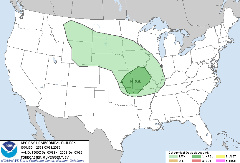
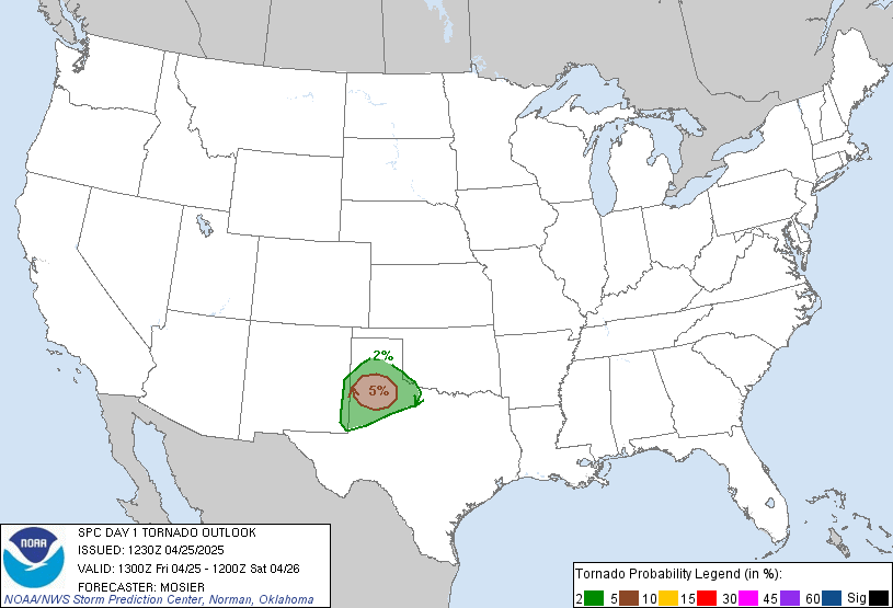
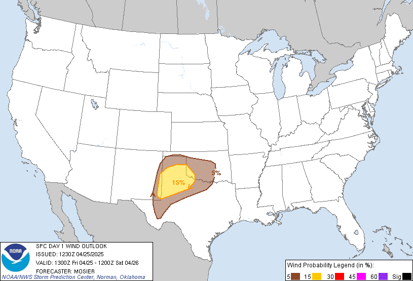
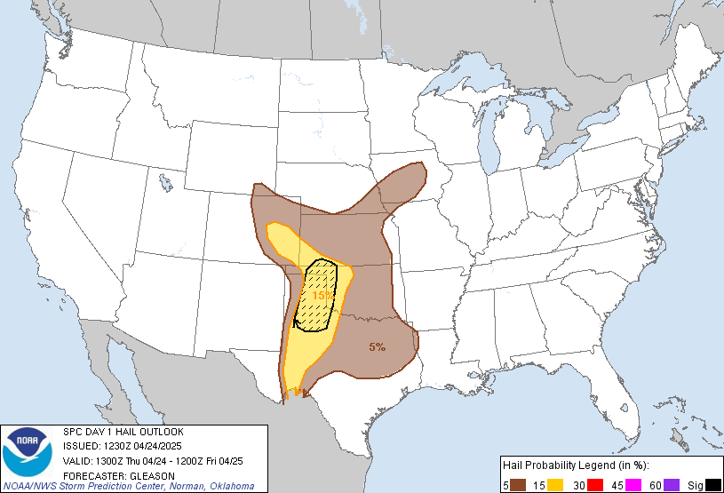
Day 1 Convective Outlook
NWS Storm Prediction Center Norman OK
0640 PM CST Wed Nov 11 2026
Valid 120100Z - 121200Z
...THERE IS A SLIGHT RISK OF SEVERE THUNDERSTORMS THROUGH MID
EVENING ACROSS PARTS OF WESTERN INTO CENTRAL KENTUCKY...
...SUMMARY...
Strong thunderstorms posing a risk for small to marginally severe
hail, and perhaps locally gusty winds, may be maintained across
parts of west central into southeastern Kentucky and adjacent
northern Tennessee into at least late evening.
...01z Update...
Low-level moisture return to the warm sector of a modest (but
forecast to continue deepening) surface cyclone migrating through
the lower Ohio Valley has remained rather limited, at least where
forcing for ascent in the exit region of a 70-80+ kt cyclonic
mid-level jet has been sufficient to contribute to thunderstorm
development. With diurnal surface cooling now underway, it remains
unclear the extent to which mid-level cooling will maintain
sufficient destabilization to support a continuing risk for
marginally severe hail. However, despite a rapid transition to a
prominent westerly component to the flow from the surface through
around 850 mb, the latest Rapid Refresh suggests deeper
boundary-layer moistening is still possible into late evening along
the southern fringe of the stronger mid-level forcing overspreading
the south central into southeastern Kentucky/adjacent Tennessee
vicinity. If this occurs, thermodynamic profiles supportive of a
continuing risk for severe hail and locally gusty winds might be
maintained.
..Kerr.. 11/12/2026
Read more CHECK UPDATE ZOOM GRAPHIC
http://dlvr.it/TWJ0FK