Day 1 Convective Outlook
NWS Storm Prediction Center Norman OK
0655 AM CST Wed Nov 11 2026
Valid 111300Z - 121200Z
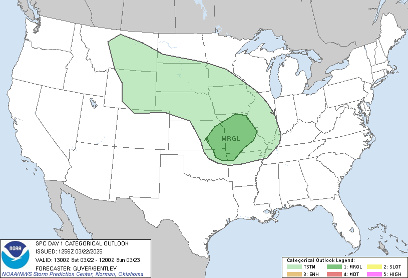
...THERE IS A MARGINAL RISK OF SEVERE THUNDERSTORMS FROM PARTS OF
EASTERN ILLINOIS INTO INDIANA...WESTERN/CENTRAL KENTUCKY...AND
MIDDLE TENNESSEE...
...SUMMARY...
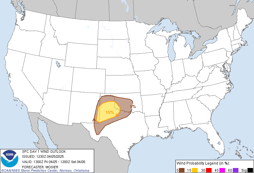
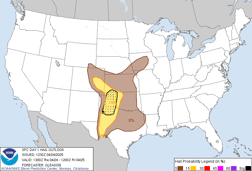
Thunderstorms capable of producing isolated hail, damaging winds,
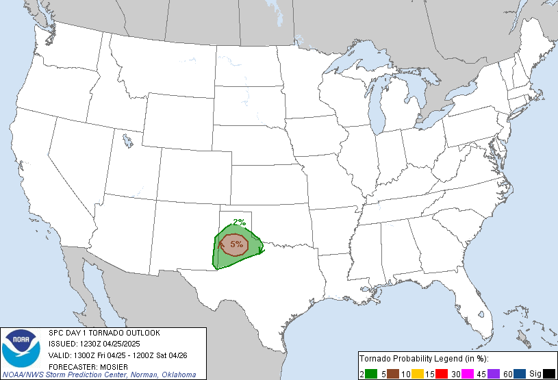
and perhaps a tornado may occur this afternoon and evening across
parts of eastern Illinois into Indiana, western/central Kentucky,
and middle Tennessee.
...Midwest/Lower Ohio Valley into Middle Tennessee...
Recent water vapor satellite imagery shows a mid-level shortwave
trough digging southeastward over the Upper Midwest towards the mid
MS Valley, with recent elevated thunderstorm development noted over
eastern IA capable of producing small hail (reference ~300 J/kg
MUCAPE in the 12Z observed DVN sounding). A related weak surface low
will develop from southeast IA this morning to the IN vicinity by
late afternoon/early evening. A trailing cold front will continue
advancing east-southeastward across the southern Plains, mid MS
Valley/Mid-South, and lower OH Valley this afternoon and evening.
The main uncertainty and likely limiting factor to severe potential
today remains shallow/limited low-level moisture ahead of the front
across the Midwest/lower OH Valley, where latest surface
observations show dewpoints generally in the 30s to mid 40s.
Somewhat greater low-level moisture associated with a modified
continental polar airmass is present across the southern Plains into
the Ozarks/lower MS Valley. But, west-northwesterly low-level flow
noted in area VWP trends and forecast low-level trajectories suggest
this moisture will struggle to advect northward through the day,
perhaps reaching parts of middle TN/southern KY. Therefore, most
guidance appears a bit moist with boundary-layer dewpoints and
related instability this afternoon, although some mid-level
moistening could occur.
Current expectations are for surface-based thunderstorms to
initially develop over eastern IL by 18-21Z, with additional
development possible with southward extent along/ahead of the front
in western/central KY through the afternoon/early evening as the
boundary layer gradually destabilizes. The combination of weak, but
potentially sufficient, MLCAPE and 30-40 kt of deep-layer shear
oriented largely orthogonal to the surface cold front should support
updraft organization. A mix of clusters and marginal supercells are
expected to evolve and spread quickly eastward while posing an
isolated threat for hail and damaging winds given cold mid-level
temperatures and modestly steepened low-level lapse rates. However,
the lack of greater low-level moisture/stronger instability should
tend to limit the overall severe threat. Modestly enhanced low-level
shear may also support a tornado risk, especially if a supercell can
develop and be sustained. But, tendency for low-level flow to veer
to westerly should reduce effective SRH with time through the late
afternoon/evening. The isolated severe risk should wane this evening
with eastward extent across the lower OH Valley as instability
diminishes with the loss of daytime heating.
...Central/Southern Florida Peninsula...
Isolated to scattered thunderstorms should preferentially form along
the Atlantic Coast sea breeze this afternoon across the
central/southern FL Peninsula. Glancing large-scale ascent
associated with a weak mid-level perturbation over the Southeast
should aid this convective development, but multiple inversions
aloft noted in the 12Z observed MFL/TBW soundings should tend to
limit updraft intensities. Still, small hail and gusty winds could
occur with the stronger cores given the presence of moderate
instability and 30-35 kt of deep-layer shear.
..Gleason/Wendt.. 11/11/2026
Read more CHECK UPDATE ZOOM GRAPHIC
http://dlvr.it/TWHd5m