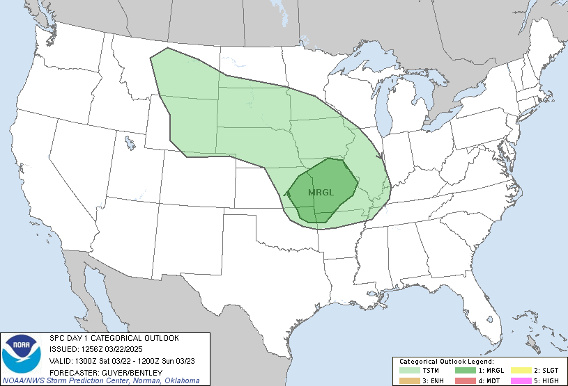
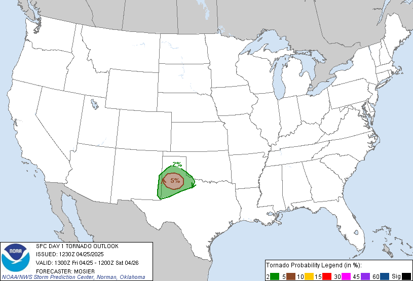
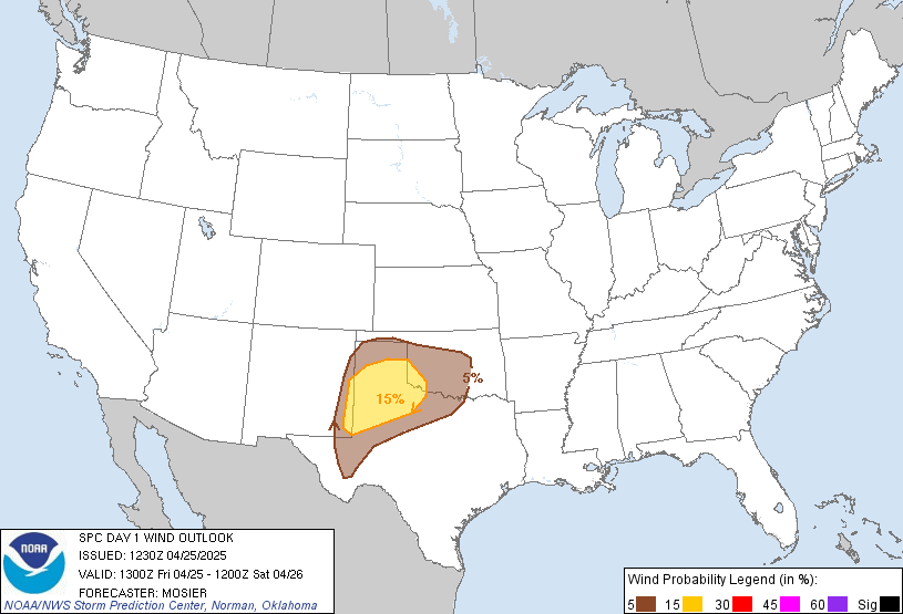
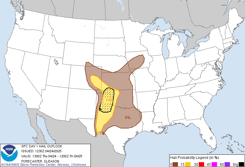
Day 1 Convective Outlook
NWS Storm Prediction Center Norman OK
1137 PM CST Mon Nov 09 2026
Valid 101200Z - 111200Z
...NO SEVERE THUNDERSTORM AREAS FORECAST...
...SUMMARY...
Severe thunderstorms are not expected Tuesday through Tuesday night.
...Synopsis and Discussion...
A progressive and amplifying polar branch of westerlies is forecast
over the northern CONUS Tuesday and Tuesday night. Within that air
stream, a short-wave trough will move through the Northeast, while
an upstream system intensifies over the northern Plains and Upper
Midwest. Meanwhile, a lower-latitude system over TX is expected to
de-amplify while advancing into the lower MS Valley. At the surface,
a lee cyclone and attending trough initially over the High Plains
will shift east through the northern and central Plains into the
Midwest, in tandem with the previously mentioned upper-air system.
Increasing southerly flow ahead of that frontal system will support
the poleward advance of a partially modified continental-polar air
mass from the southern Plains into the Ozarks.
Isolated thunderstorms appear possible along the middle TX Coast
Tuesday morning, and from the middle TX Coast into southern LA
Tuesday night, within a zone of low-level warm advection and weak
instability preceding the midlevel wave. Along the Pacific Northwest
Coast, moist onshore flow coupled with a slight steepening of
midlevel lapse rates will yield weak instability and the potential
for isolated thunderstorms during the afternoon and evening. Over
south FL, slight cooling aloft will combine with a moist PBL to
yield MUCAPE of around 1000 J/kg by afternoon when isolated
thunderstorms appear possible.
Elsewhere, isolated lightning strikes appear possible over northern
or central TX, northern New England, and perhaps the eastern Dakotas
Tuesday afternoon into evening. Lightning duration and coverage in
those areas appear too limited to warrant general thunderstorm/10%
probability contours.
..Mead.. 11/10/2026
Read more CHECK UPDATE ZOOM GRAPHIC
http://dlvr.it/TWGZGh