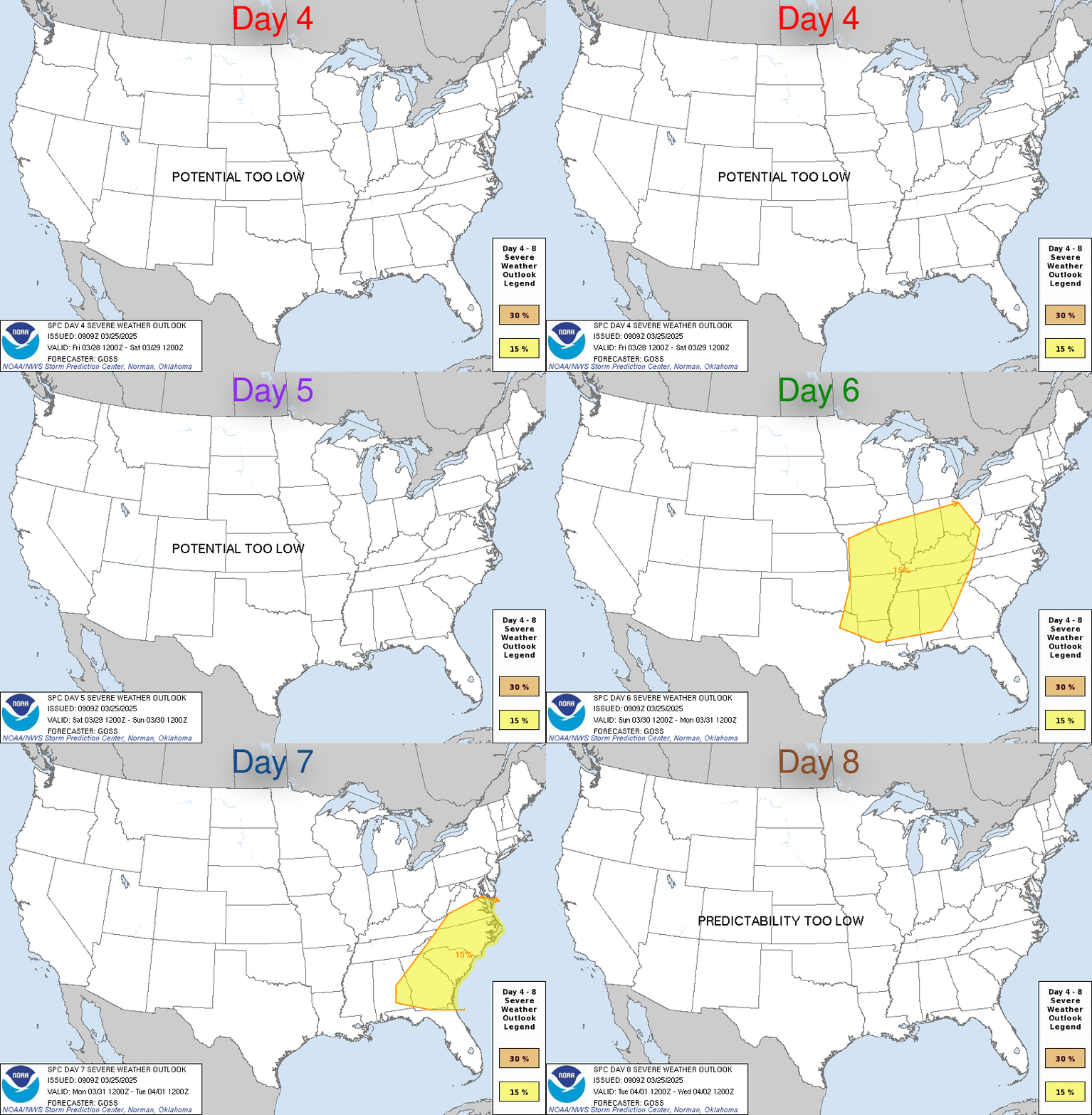
LIVE MAP (ABOVE) ... Day 4-8 Outlook
Day 4-8 Convective Outlook
NWS Storm Prediction Center Norman OK
0341 AM CDT Sat May 20 2023
Valid 231200Z - 281200Z
...DISCUSSION...
Upper ridging is expected to persist across the central CONUS
throughout much of the extended period, with modest mid-level flow
anticipated across the CONUS during this time frame as well. The
absence of any large-scale synoptic systems will allow for low-level
moisture to be maintained along the southern and western periphery
of extensive surface ridging, keeping a large reservoir of 60+
dewpoints over the central and southern Plains. Persistent
southwesterly flow aloft is expected across the southern Rockies
during this period, helping to support continued lee troughing as
well as diurnal thunderstorm initiation over the higher terrain.
These thunderstorms could then move into the more moist and unstable
conditions across the central/southern High Plains, contributing to
some severe storm potential. Additionally, a moderate low-level jet
is anticipated nightly across the southern and central High Plains,
supporting severe potential late into the evening. However, given
the forecast range, overall convective evolution remains uncertain,
with preceding thunderstorm activity greatly impacting the following
day's severe potential. This limits predictability, resulting in low
forecast confidence.
There is some signal in the medium-range guidance that a more
substantial southern-stream shortwave trough will move through the
Southwest this weekend. However, variability remains high within the
guidance, and predictability is low.
Read more CHECK UPDATE ZOOM GRAPHIC
http://dlvr.it/SpLFfj
Windy.com Temps | Gusts | WU KORD KPWK |
CLICK for this month's BIG night sky ... | RADAR FULL MAP SCREEN |
|---|
MOBILE DEVICE? Turn sideways. Weather conditions directly above are near Lakefront. Top tabs refer to O'Hare (official).
Archives for the SPC Convective Outlook are updated daily (approximately) with a live map at the beginning of each article. Follow the link at the end of the article to check for current updates on the NOAA/NWS Storm Prediction Center website. Also, see Archives for Chicago's hourly weather data on CARDINAL NEWS Magazine.
CONVECTIVE | TORNADO | WIND | HAIL
O'Hare International Airport KORD
(Arlington Heights South)
Chicago Executive Airport KPWK
(Arlington Heights North)
Saturday, May 20, 2023
SPC May 20, 2023 Day 4-8 Severe Weather Outlook
SUNRISE AND SUNSET TIMES IN UTC (if you're not logged in to Google)
CHICAGO UTC-6 during CST (Central Standard Time, e.g., winter)
CHICAGO UTC-5 during CDT (Daylight Savings Time, e.g., summer)
CHICAGO UTC-6 during CST (Central Standard Time, e.g., winter)
CHICAGO UTC-5 during CDT (Daylight Savings Time, e.g., summer)


